Subject: New Mexico
Period: 1894-98 (circa)
Publication:
Color: Black & White
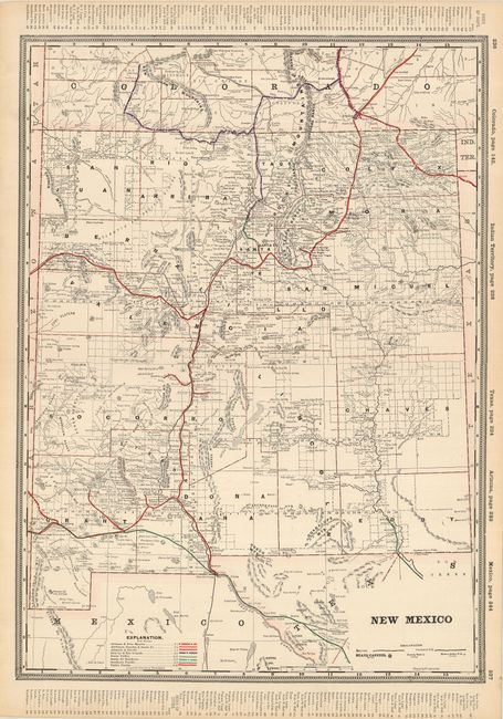
1) New Mexico is a large, double-page map from George Cram's Railway Atlas. Numerous place names, post offices, rivers, counties and topography are shown. The eight railroads in this example are shown in color, and a pair of indexes along the side borders list the other maps found in the atlas. Chicago, 1894. (16.3 x 22.3). A bit of light soiling in margins. Grade A.
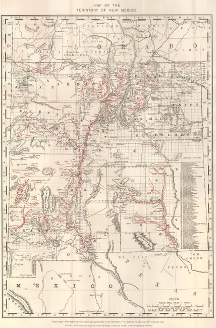
2) The Map of the Territory of New Mexico names 80 mining districts, which are listed along the right margin. A note in lower margin states "Red lines on map indicate springs, running water, and irrigating ditches". Folded as issued. Washington D.C., General Land Office, 1898. (13 x 20"). Grade A+.
References:
Condition:
See individual descriptions.


