Catalog Archive
Auction 121, Lot 252

"Boston", Bradford, Thomas Gamaliel

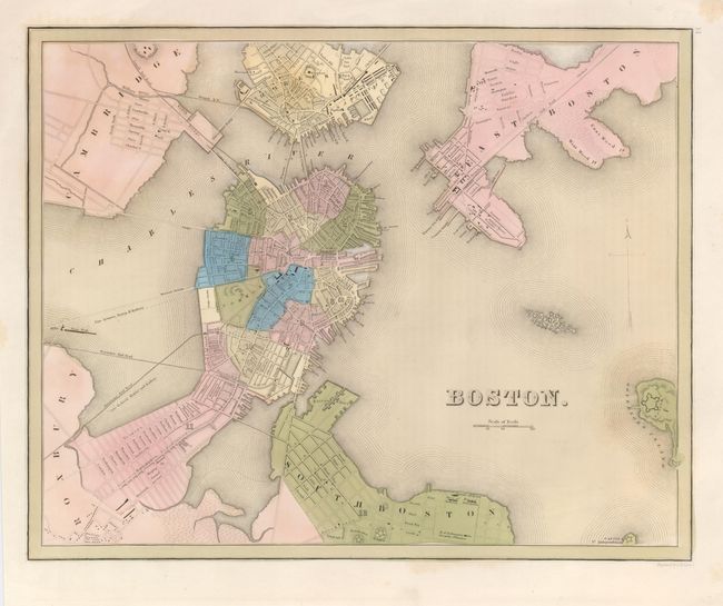
Subject: Massachusetts, Boston

Period: 1838 (circa)

Publication: Illustrated Atlas

Color: Hand Color

Size:
14 x 11.3 inches
35.6 x 28.7 cm
Download High Resolution Image
(or just click on image to launch the Zoom viewer)

This copper engraved map shows the growth of the city beyond the Shawmut Peninsula. The introduction of railroads, and construction of bridges connected the city with its fast growing neighboring communities of Cambridge, Charlestown and South Boston. Names the early railroads of Providence and Lowell (both completed in 1835) with their lines entering the city. Details bridges, ferry lines, roads, forts and more.

References: Phillips (A) 11028-11.

Condition: A

The map has original delicate pastel hand coloring, with a couple of light foxing spots.

Estimate: $200 - $250

Sold for: $150

Closed on 9/26/2007

Archived