Subject: Louisiana and Florida
Period: 1873-1899 (circa)
Publication:
Color: Hand Color
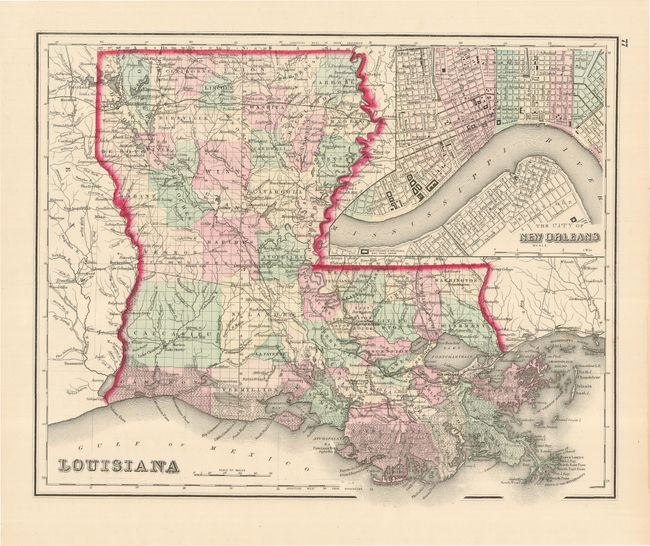
A pair of beautifully engraved and very detailed maps. The first, Louisiana, 1873 (15 x 11.8"), from Gray's Atlas of the United States, shows counties in alternating colors and names cities, towns, forts, railroads, and rivers. The entire coastline is shown as swampland. A large inset, The City of New Orleans, shows cemeteries, train depots, canals and the levees along the river. The inset covers wards 1 through 6 to the north and Algiers and Belleville in the south. On verso is an equally attractive and detailed map of Mississippi.
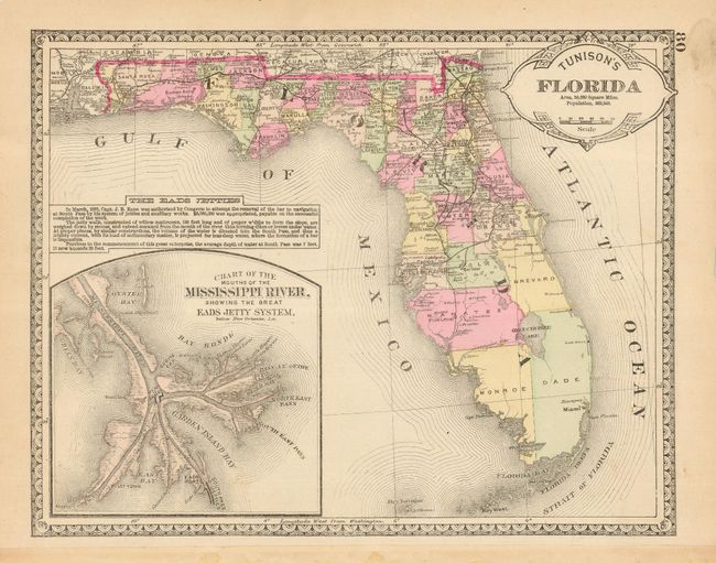
The second map, Tunison's Florida, 1899 ( 12.5 x 9.8"), features an inset, Chart of the Mouths of the Mississippi River, Showing the Great Eads Jetty System, below New Orleans, La. and a notation explaining the cost and construction of the jetty system.
References:
Condition: B+
Louisiana has some minor damp stains, and a small abrasion in the Gulf. Florida has a couple chips in the margins, some light soiling and leftover paper remnants on binding edge.


