Subject: Atlases - Illinois
Period: 1896-99 (dated)
Publication: House Doc 95, 56th Congress, 1st Sess.
Color: Printed Color
Size:
28.5 x 22.5 inches
72.4 x 57.2 cm
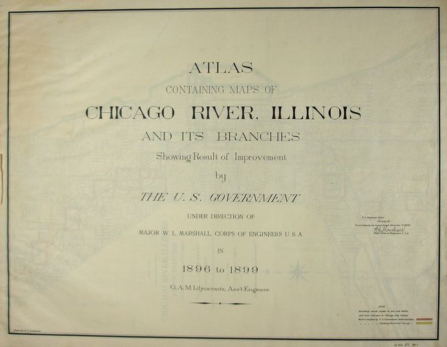
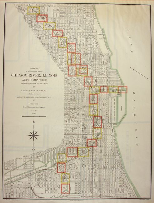
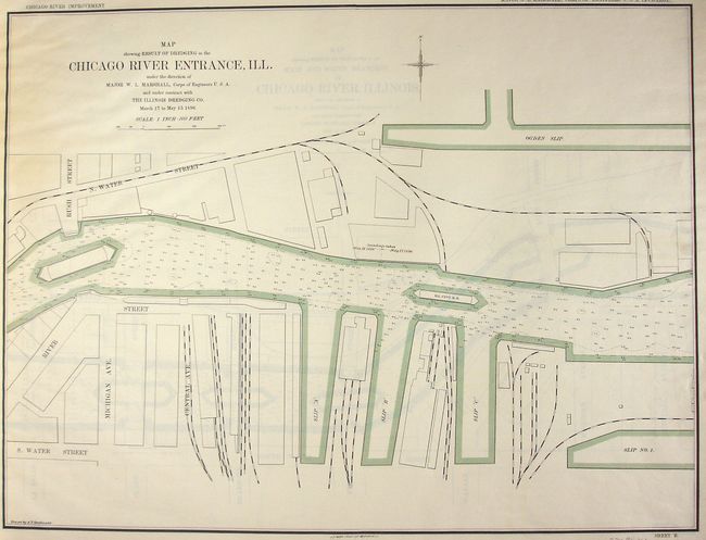
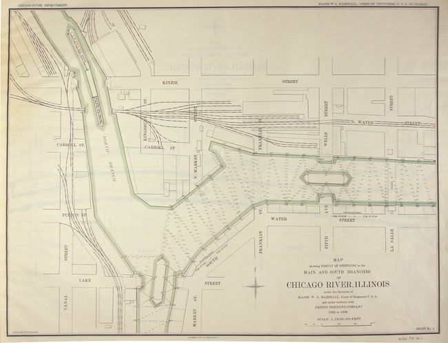
This is a complete and rarely seen atlas that details the improvements made along the Chicago River, principally by the U.S. Government. The set contains 29 single-page maps (each approx. 26.5" x 2.25") including an index map. The index map is a fine street map that follows the Chicago River from Belmont Ave. in the north to 39th Street in the south and shows good detail along Lake Michigan's shoreline. It details the work to be done by the U.S. Government and that by the Sanitary District of Chicago and locates each of the individual maps. The 28 detailed maps are drawn on a uniform scale of 1" per mile so they contain a large amount of information along the river. They delineates streets, railroads, some buildings, and full details of the river and the improvements accomplished. Each map features a compass rose. Lithographed by A.B. Graham Photo Lith. of Washington, D.C. A most uncommon issue that was published to accompany the report by William Louis Marshall, Major, Corps of Engineers.
References:
Condition: A
With no covers, but all pages still bound together. Rear free end paper is loose. The maps are fine, with no flaws.


