Subject: Atlases
Period: 1881 (dated)
Publication:
Color: Printed Color
Size:
11.25 x 15 inches
28.6 x 38.1 cm
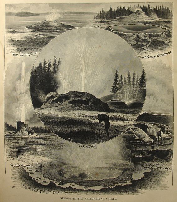
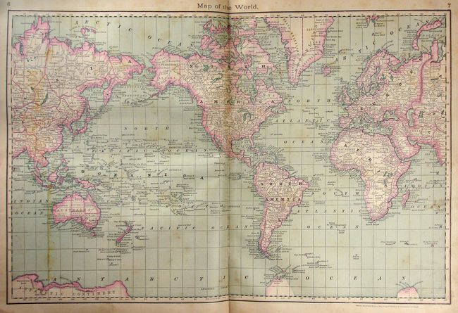
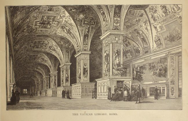
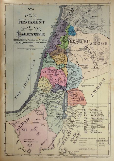
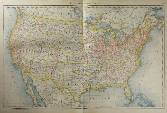
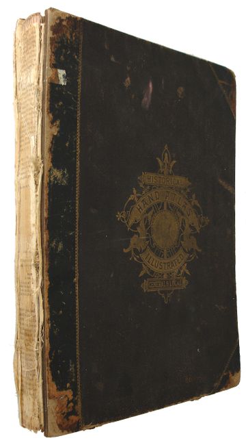
This complete atlas is titled as a historical atlas, but is in fact a modern atlas of Canada and the United States with a few biblical maps. The atlas contains 70 maps, composed of a world map, the West Indies, six on Canada, forty covering the United States. The twelve hand colored biblical maps are by H.H. Hardesty and are on 10 sheets. There are 5 foldout maps of California and Nevada; Texas and Indian Territory; Ohio; Illinois and New York. Finely engraved vignettes of well-known cathedrals, churches and temples, as well as views of ancient cities and landscapes are the perfect accompaniment to the descriptions within this atlas. Folio, 209 pp. Original hardbound in pebbled brown cloth with half calf spine and tips. Rough, but a nice collection of maps.
References:
Condition: C+
The maps vary between very good to good due to occasional scattered foxing. Text and maps generally good with usual toning and foxing. Foldout maps have intersectional fold separations, with the township map of Ohio loose. Several pages are dog-eared and soiled. Front cover is detached and spine is missing. Some signatures are starting.