Subject: Africa
Period: 1845-1880 (circa)
Publication:
Color: Hand Color
Nice group of 19th century maps of continental Africa.
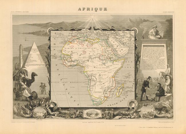
1) Afrique, by Levasseur, from Atlas Universel Illustre. A most decorative 19th century map of the continent colored to show the colonial possessions and major tribal kingdoms. The interior is mostly void of detail. The map is surrounded steel-engraved scenes including the pyramids, wild animals, natives, the French army in Algeria and vignettes of Alexandria, Cairo, and Alger, circa 1845. (17 x 11")
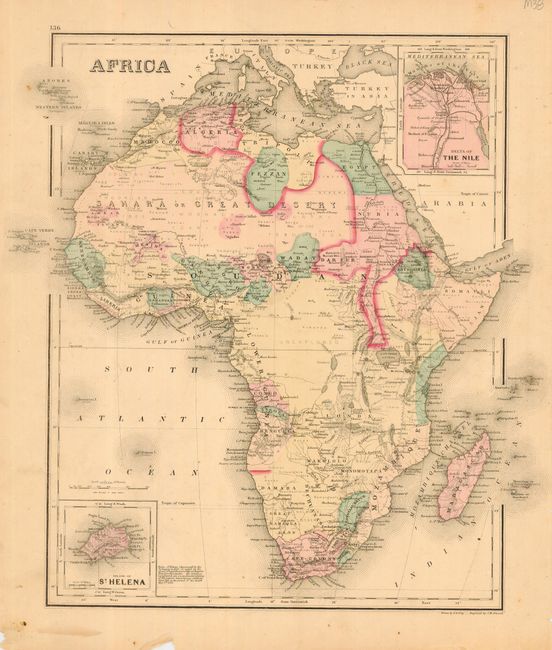
2) Africa, drawn by F. A. Gray with insets of Delta of The Nile and island of St. Helena. The interior is largely blank with delicate original color, circa 1860 (11.8 x 14.5").
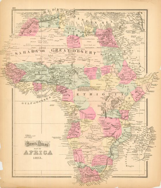
3) Gray's Atlas Map of Africa is a hand colored, larger format map with many place names and updated cartography for the interior. Dated 1876 (12 x 14.5").
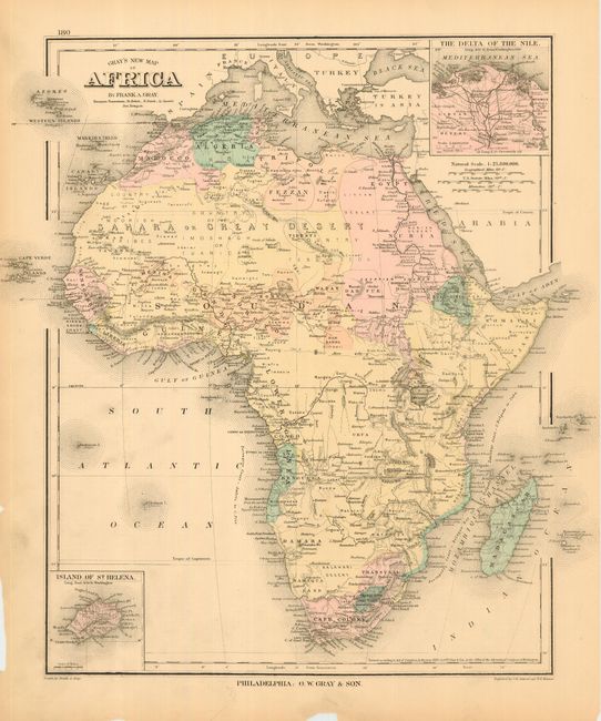
4) Gray's New Map of Africa By Frank A. Gray shows the course of the Congo reaching to Lake Tanganyika. Insets of Delta of The Nile and Island of St. Helena. Dated 1880 (11.8 x 14.5").
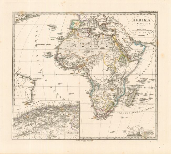
5) Afrika by Justus Perthes in Gotha. Inset of Algiers, mountain elevations and a color key to colonial possessions lower right. Dated 1876 (14 x 12").
References: Map 1, Norwich #140.
Condition: B
Map 3 and 4 chipped margins, map 5 foxed.