Catalog Archive
Auction 120, Lot 700

"A Map of Canaan with the Adjacent Countrie's Very Usefull for the Understanding of the Old Testament", Lea, Philip
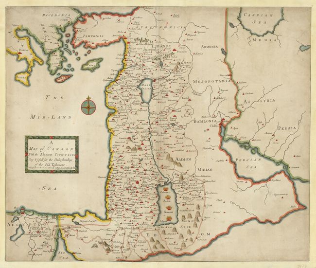
Subject: Holy Land

Period: 1692 (circa)

Publication:

Color: Hand Color

Size:
23 x 19.5 inches
58.4 x 49.5 cm
Download High Resolution Image
(or just click on image to launch the Zoom viewer)

This is an extremely scarce map of the region described in the Old Testament. It covers from Rome to Persia and south to Egypt. The Arabian Peninsula is greatly distorted. The map is filled with region and place-names and the route of the Wandering of the Jews is graphically presented. This map was separately published, and occasionally found in composite atlases. We can find no record of it in any dealer's catalogs and only one auction record in 1998, which was for this example.

References:

Condition: B

Original color with some light surface soil throughout. Fully remargined with facsimile neatline, and a professional repair on centerfold.

Estimate: $750 - $1,000

Sold for: $1,200

Closed on 7/18/2007

Archived