Catalog Archive
Auction 120, Lot 560

"Accuratissima Rheni Inferioris Mosae et Mosellae Tabula [on sheet with] Accuratissima Rheni Superioris Mosae et Mosellae", Danckerts, Theodore

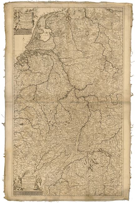
Subject: Central Europe

Period: 1660 (circa)

Publication:

Color: Black & White

Size:
22.75 x 38.8 inches
57.8 x 98.6 cm
Download High Resolution Image
(or just click on image to launch the Zoom viewer)

Two beautifully engraved and highly detailed maps on two joined sheets. The map is focused on the Meuse, Moselle and Rhine rivers that travel through central Europe, but also names hundreds of cities, towns, and villages, as well as the roads, forests and mountains depicted with charming pictorial topography. Two beautifully engraved, decorative title cartouches flanked with putti, and a pair of small compass roses adorn the map.

References:

Condition: C+

Very crisp impression laid on old linen. Soiling, damp stains and several spots, with some fold separations. Edges of linen a bit frayed.

Estimate: $250 - $300

Sold for: $170

Closed on 7/18/2007

Archived