Subject: Europe
Period: 1758-1826 (circa)
Publication:
Color: Black & White
Nice group of black and white maps showing specific places in France, Italy, and the Netherlands.
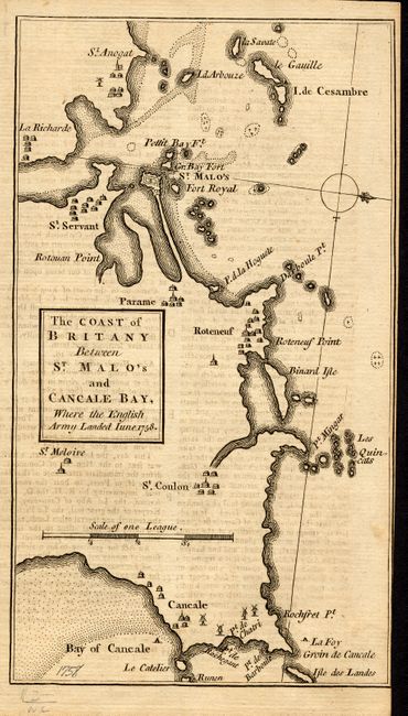
1)The Coast of Britany Between St. Malo's and Cancale Bay, Where the English Army Landed June 1758. Anonymous (4.3 x 7.5").
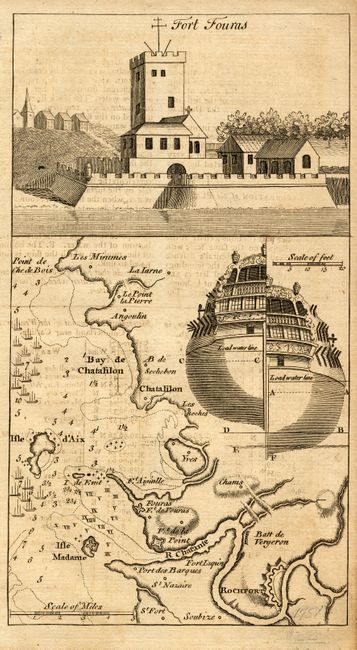
2) Fort Fouras, 1758. Anonymous (4.3 x 7.5").
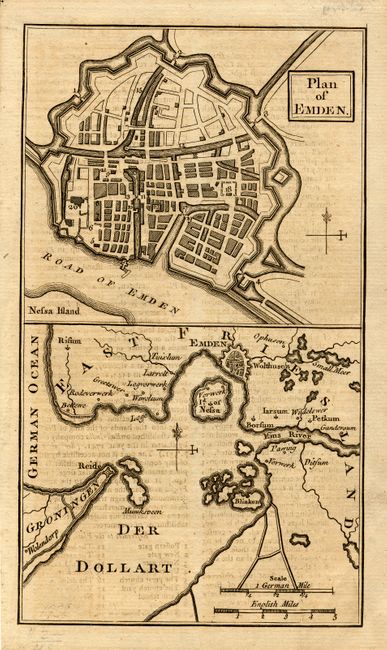
3) Plan of Emden. Anonymous (4.3 x 7.5").
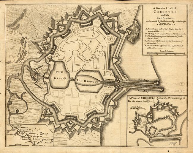
4) A Genuine Plan of Cherburg with the Fortifications . Anonymous (9.8 x 7.5").
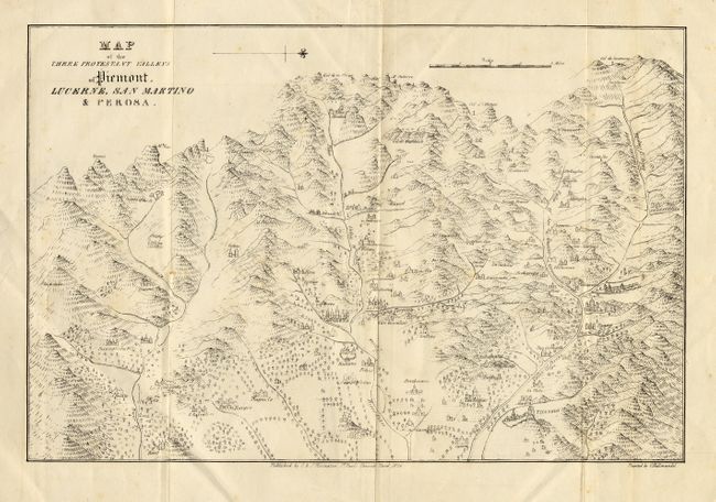
5) Map of the Three Protestant Valleys of Piemont. Lucerne, San Martino & Perosa by C. & J. Rivington, 1826 (11.8 x 8.5").
References:
Condition: A