Catalog Archive
Auction 120, Lot 385

"A Draught of the West End of the Island of Porto Rico and the Island of Zachee", Mount & Page

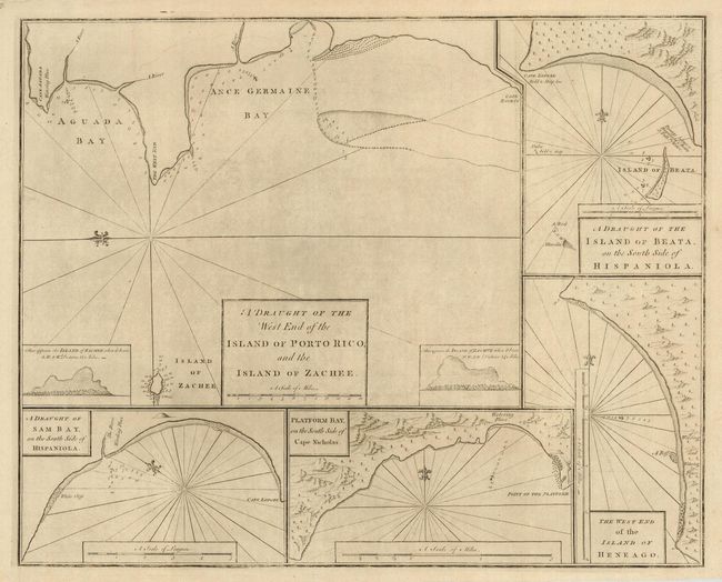
Subject: Puerto Rico and Hispaniola

Period: 1767 (published)

Publication: The English Pilot

Color: Black & White

Size:
23.5 x 19 inches
59.7 x 48.3 cm
Download High Resolution Image
(or just click on image to launch the Zoom viewer)

Attractive sheet has five charts of approaches to important anchorages. The main chart details the region of Aguada Bay where Columbus is said to have landed when he discovered Puerto Rico in 1493. The large insets include: A Draught of the Island of Beata, and the South Side of Hispaniola; A Draught of Sam Bay, and the South Side of Hispaniola; Platform Bay on the South Side of Cape Nicholas; The West End of the Island of Heneago. All charts have a scale of miles, a simple compass, soundings, and an indication of coastal topography.

References: Phillips (A) #1163-17.

Condition: A

Good original margins with a bit of light surface soil in map.

Estimate: $400 - $550

Sold for: $300

Closed on 7/18/2007

Archived