Catalog Archive
Auction 120, Lot 381

"Map of the Route of Columbus, on arriving among the Bahama Islands", Johnson, D.G.
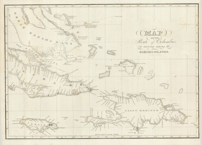
Subject: Bahamas

Period: 1850 (circa)

Publication:

Color: Black & White

Size:
20 x 14 inches
50.8 x 35.6 cm
Download High Resolution Image
(or just click on image to launch the Zoom viewer)

This interesting map shows Columbus' route in extensive detail and includes several notations regarding sightings, landings and who named certain islands. There are numerous place names, soundings and topographical features, although the interiors of the islands are largely blank.

References:

Condition: B+

Crisp impression with some light soiling and a short repaired binding tear into map at right.

Estimate: $250 - $350

Unsold

Closed on 7/18/2007

Archived