Catalog Archive
Auction 120, Lot 380

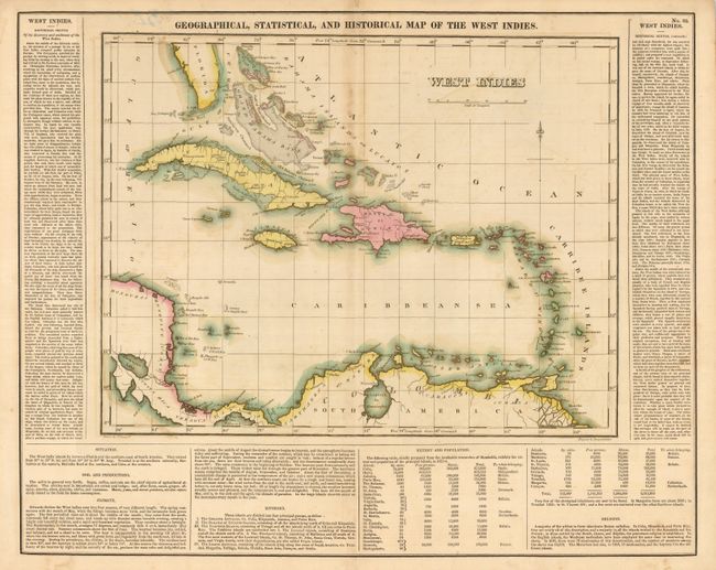
"Geographical, Statistical, and Historical Map of the West Indies", Carey & Lea
Subject: Caribbean

Period: 1825 (circa)

Publication:

Color: Hand Color

Size:
15.75 x 12.25 inches
40 x 31.1 cm
Download High Resolution Image
(or just click on image to launch the Zoom viewer)

An attractive, richly colored map of the islands is surrounded by text describing the history of the region; primarily the voyages to the region by Christopher Columbus. The textual content also details soil characteristics, climate, island groups, population and religious affiliations. Numerous place names, reefs and shoals are identified, and a simple, yet graceful fleur-de-lis adds to the pleasant character of this map.

References:

Condition: B

Toning along top of centerfold and a little offsetting or toning around islands. Tape remnants and pen on verso with one small area of show through to front above map.

Estimate: $140 - $180

Sold for: $100

Closed on 7/18/2007

Archived