Catalog Archive
Auction 120, Lot 375

"Carte des Antilles du Golfe du Mexique et d'une Partie des Etats Voisins Dressee par M. Lapie", Lapie, Alexander Emile & Pierre

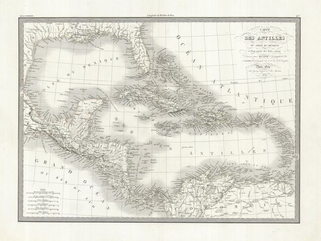
Subject: Gulf of Mexico and Caribbean

Period: 1829 (circa)

Publication:

Color: Hand Color

Size:
21.3 x 15.5 inches
54.1 x 39.4 cm
Download High Resolution Image
(or just click on image to launch the Zoom viewer)

This is a finely engraved chart of the Caribbean and the Gulf Coast that shows excellent detail of Florida, the Caribbean, Yucatan Peninsula and Central America. This beautifully rendered and finely engraved map locates numerous place names, harbors, shoals, rivers and lakes. With the original embossed Lapie stamp.

References:

Condition: A

On clean, bright paper with full, wide margins. Very crisp and dark engraving on bright paper with faded outline color.

Estimate: $140 - $180

Unsold

Closed on 7/18/2007

Archived