Subject: World
Period: 1873 (published)
Publication: Atlas of the United States
Color: Hand Color
Size:
25 x 16.3 inches
63.5 x 41.4 cm
This superb, nearly complete set (missing only the geological map) of 34 maps from Gray's 1873 atlas includes the following important maps:
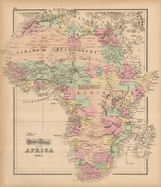
1) Africa 16x14.5". Very good with some toning along edges.
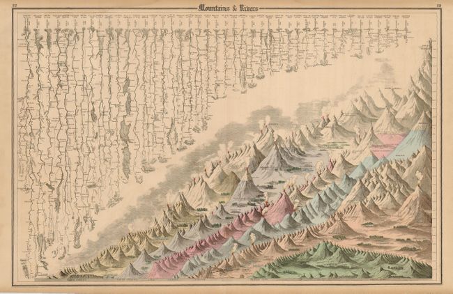
2) Mountains and Rivers 25x16". Very good with some toning along edges.
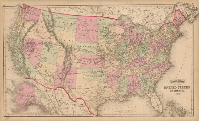
3) Map of the United States of America 26.75x16". Includes an inset of Alaska. Good with a 1" split from bottom of centerfold reaching image.
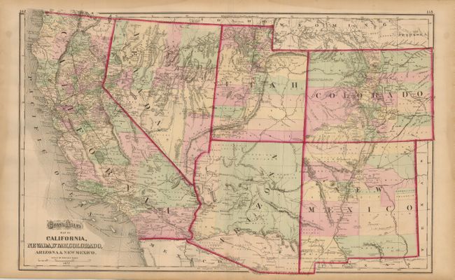
4) Map of California, Nevada, Utah, Colorado, Arizona & New Mexico. 25x16". Shows the "Gadsden Ten Million Purchase of Mexico". Very good with some edge toning and a couple insignificant spots.
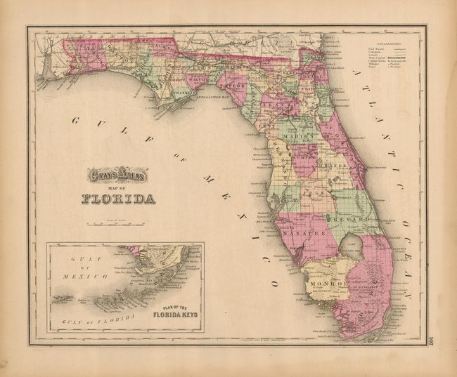
5) Map of Florida 14.5x11.75". First edition of this map with good color and impression. Features a large inset titled "Plan of the Florida Keys". Equally nice full page "Map of Alabama" on the verso. Good with some damp staining in margins, not affecting map.
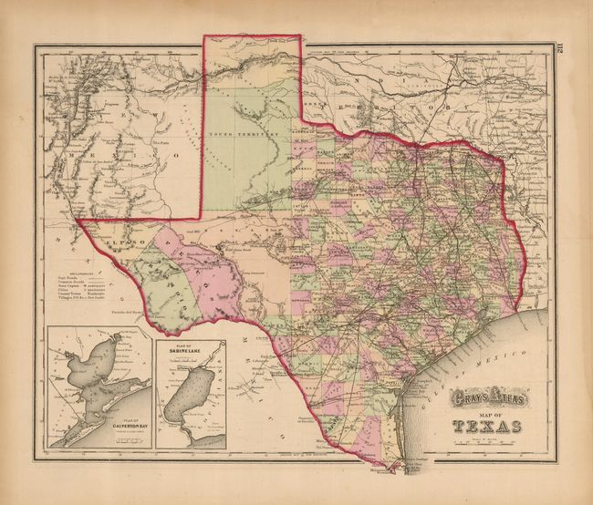
6) Map of Texas 14.75x12". This handsome map is filled with detail and includes insets of Galveston Bay and Sabine Lake. There is a large secondary Bexar region in the West that is yet to be subdivided into counties. The huge unorganized Young Territory fills the panhandle; in fact the area was subdivided into more than 50 new counties that year. Curiously, Greer County is shown as part of Indian Territory, which didn't happen until 1896. Gray's Map of Arkansas is on verso. Good with some damp staining in margins, not affecting map.
References:
Condition: B+
Maps are generally good to very good, some with a little light water staining in one margin.