Subject: Massachusetts
Period: 1875 (dated)
Publication:
Color: Black & White
Size:
22.5 x 17.8 inches
57.2 x 45.2 cm
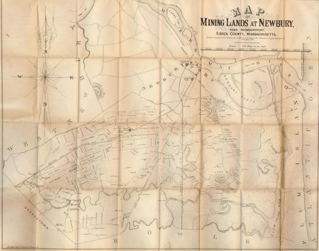
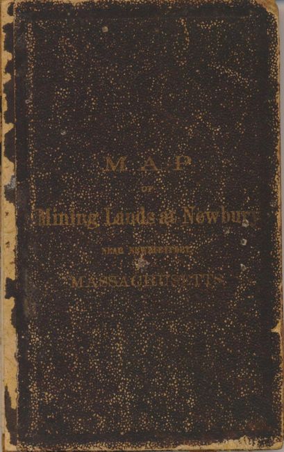
A most uncommon pocket map shows the town and vicinity near Cape Ann and the newly discovered silver deposits. The extremely detailed map is drawn on a scale of 125 rods per inch (about 2060 feet per inch) but does not actually show any mining activity. Rather, it details the roads, creeks and rivers, and individual plots with land owners' names. Good detail of the railroads and depots including the Boston and Maine RR and the Eastern RR. The only mention of mining we can find on the map is the Mining Station on the B&M RR. Locates hotels, Old Town Hill, Turkey Hill, Woodbridges Island, lighthouses along the Atlantic shore, and more. In 1878 Newbury became an instant silver boom town when the ore was discovered in a field that later became the Chipman Mine. The property of Chipman, Shawn & Kelly is shown adjacent to the Mining Station mentioned earlier. After the discovery, land values soared; land valued at $300 for 12 acres prior to the discovery, sold for up to $100,000 after the discovery. The owners of the Chipman Mine were very successful with an estimated $500,000 worth of silver recovered. The mine closed in 1925. The pocket map folds into original brown boards (12mo) with gilt title on cover. A most uncommon issue that is dated 1875 but likely issued circa 1878-79. Billed as a mining map, it is more accurately a real estate promotional map by the publisher, whose name frequently appears among the land parcels shown on the map.
References:
Condition: B+
Map has just a little toning on a couple of folds, more so on one. Covers are worn with front cover detached.