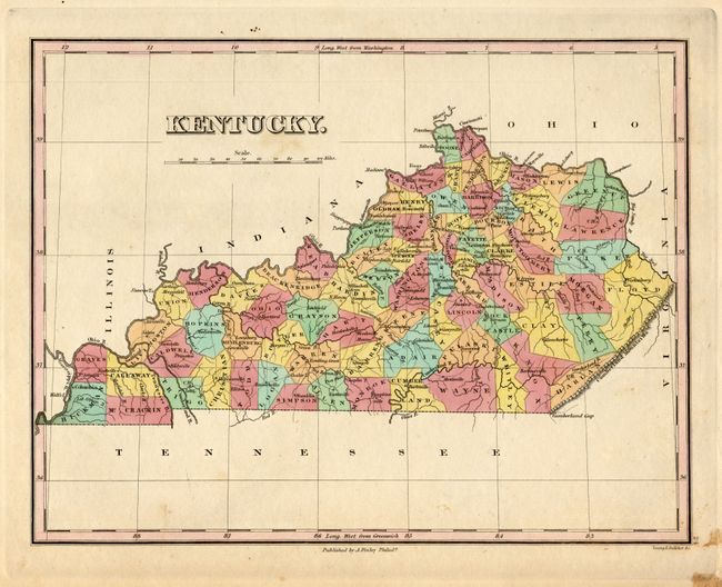
Subject: Kentucky
Period: 1830 (circa)
Publication: A New General Atlas
Color: Hand Color
Size:
11.3 x 8.6 inches
28.7 x 21.8 cm
The famous American cartographer, Anthony Finley, produced this finely engraved and detailed copper plate map. Although published circa 1830, the county development is current to about 1824 as Laurel and Russell counties have not yet been formed. The map details the roads, towns and settlements, rivers and political divisions and locates the Cumberland Gap. Engraved by Young & Delleker.
References: Phillips (A) 6054-24
Condition: A
Very nice, crisp impression with full original hand coloring and full, original margins. There is a bit of light foxing at lower right corner and under title, still very good.