Catalog Archive
Auction 120, Lot 190

"Map of the Hudson's River with the Adjacent Country", Anon.

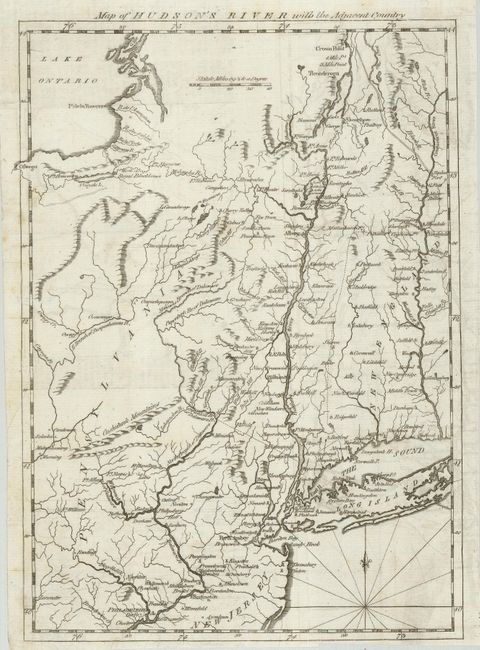
Subject: Colonial Northeast

Period: 1777 (published)

Publication: Scot's Magazine

Color: Black & White

Size:
8 x 11.5 inches
20.3 x 29.2 cm
Download High Resolution Image
(or just click on image to launch the Zoom viewer)

Great little map from this British periodical that was designed to familiarize the magazine's readers with the location of the hostilities in the "American War." This map illustrates the region of the Hudson and Delaware Rivers, and the area of the marches of the armies under the Generals Howe, Clinton and Burgoyne. It covers New York and New England as far east as the Connecticut River, south to include Philadelphia, and north to encompass Crown Point and Ticonderoga.

References: Jolly-SCOT #46; Phillips [M] p.323

Condition: B+

Crisp and dark impression with some faint toning and offsetting. Narrow, unevenly trimmed bottom margin.

Estimate: $150 - $250

Sold for: $180

Closed on 7/18/2007

Archived