Catalog Archive
Auction 120, Lot 158

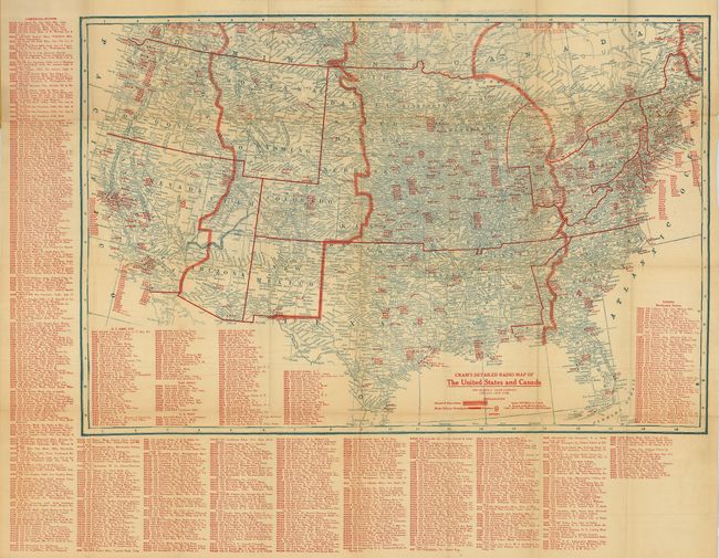
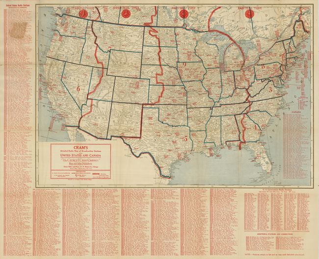
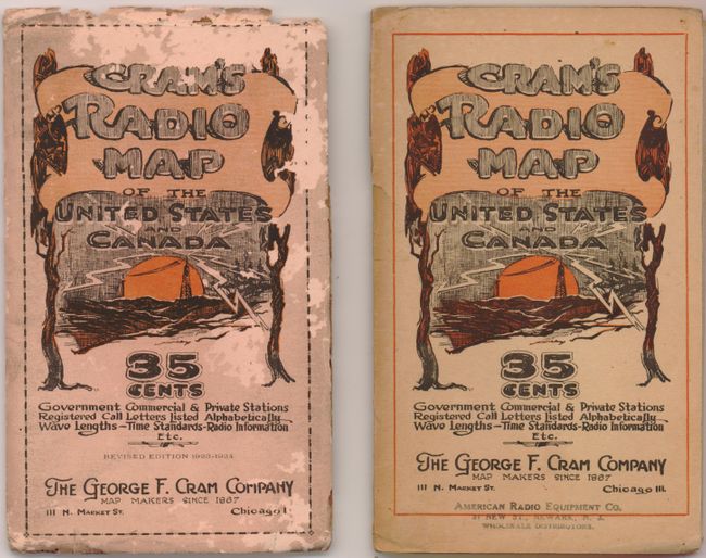
"[Lot of 2] Cram's Detailed Radio Map of the United States and Canada [and] … Revised Edition 1923-1924", Cram, George F. & Company

Subject: United States & Canada

Period: 1922-1923 (circa)

Publication:

Color: Printed Color

Size:
29 x 19.8 inches
73.7 x 50.3 cm
Download High Resolution Image
(or just click on image to launch the Zoom viewer)

This lot contains two remarkable pocket maps designed to assist in the location of radio (AM) stations across the United States. Both have extensive lists at side and bottom that gives the call sign, frequency and location of both commercial and military stations. The country is divided into four "Radio Districts." A surprisingly in-depth "Theory of Radio Communication " is on verso of the earlier map. Both fold into pictorial paper covers The editions are not stated but we believe the earlier map is the first edition, the 1923 is the second edition. The first edition appears to be the earliest commercial map of its type. The date of 1922 on the earlier map is derived from stations listed, specifically WMC is shown in Youngstown, Ohio were it was licensed from 3/27/22 until 12/9/22. The station was moved to Memphis, Tennessee beginning on 5/12/23. Also, other stations first licensed in 1923 do not show up on the earlier map. A fascinating pair of maps for the collector of Tesla material, the true inventor of the radio. Click here for a link to licensing history and other related information.

References:

Condition: B+

A few fold intersection splits as expected on folding maps of this size. The latter maps cover has a little insect damage barely affecting image, more on the blank back cover.

Estimate: $140 - $180

Sold for: $100

Closed on 7/18/2007

Archived