Catalog Archive
Auction 120, Lot 128

"Carte Reduite du Grand Banc et d'Une Partie de l'Isle de Terre Neuve…", Bellin, Jacques Nicolas

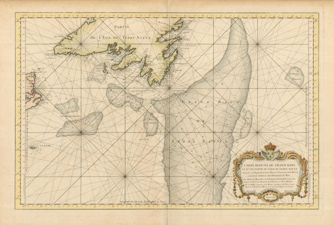
Subject: Canada - Atlantic Ocean

Period: 1764 (dated)

Publication:

Color: Hand Color

Size:
32 x 20.8 inches
81.3 x 52.8 cm
Download High Resolution Image
(or just click on image to launch the Zoom viewer)

This gorgeous sea chart focuses on the fish-rich Grand Bank, as well as the smaller banks located off the coasts of Newfoundland and Cape Breton. The chart is filled with rhumb lines and soundings for the banks, in addition to the approaches to the southern coast of Newfoundland, the eastern coast of Cape Breton and Sable Island. The map is decorated with a fine cartouche wreathed with flowers and topped by the crest of the King of France.

References:

Condition: B

Lovely impression and color with a few spots of discoloration in the map.

Estimate: $550 - $650

Sold for: $325

Closed on 7/18/2007

Archived