Subject: Africa
Period: 1738-40 (circa)
Publication: l'Histoire Generale des Voyages
Color: Black & White
Size:
9 x 9.5 inches
22.9 x 24.1 cm
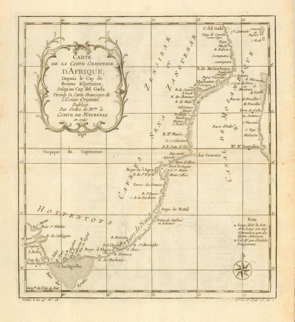
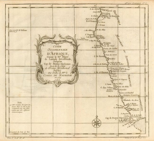
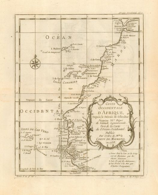
Lovely trio of 18th century maps of coastal Africa, all with decorative title cartouches and compass roses.
1) Carte de la Coste Orientale d'Afrique Depuis le Cap de Bonne Esperance, Jusqu'au Cap del Gada shows the eastern coastline of South Africa from Cabo Delgado to Cape Town, including the Mozambique Channel, the Comoros islands, and a portion of the western coast of Madagascar.
2) Carte de la Coste Occidentale d'Afrique… shows the western coastline of South Africa from Bengala to the Cape Town, with the island of St. Helene noted as well.
3) Carte de la Coste Occidentale d'Afrique Depuis le Detroit de Gibraltar… features the western coast of North Africa from the Strait of Gibralter and the Canary islands to just south of Dakar and the Cape Verde islands.
References:
Condition: A
Map 2 with some thinness of the paper on the centerfold, not affecting map image.