Catalog Archive
Auction 119, Lot 517

"Carte des Pays Bas Catholiques…", Delisle, Guillaume

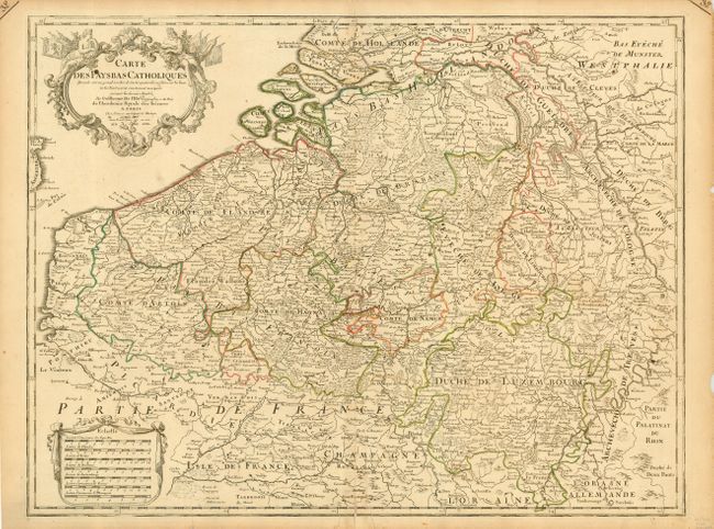
Subject: Low Countries

Period: 1702 (dated)

Publication:

Color: Hand Color

Size:
24.3 x 18.4 inches
61.7 x 46.7 cm
Download High Resolution Image
(or just click on image to launch the Zoom viewer)

A fine, detailed map of the region that includes Luxembourg and bordering parts of France and Germany. The map was compiled from numerous sources as noted in the decorative title cartouche. An early Delisle edition issued from Quai de l'Horloge.

References:

Condition: B

Small ink stain in cartouche. Bottom fold separation with an old paper repair on verso. Couple of minor tears in margins.

Estimate: $275 - $350

Unsold

Closed on 5/9/2007

Archived