Catalog Archive
Auction 119, Lot 502
"Carte la plus Nouvelle de la Scandinivie ou les Couronnes du Nord Scavoir la Suede le Dannemarc et la Norvege ou lon Trouve la Mer Baltique, et une Grande Partie de la Moscovie etc.", Ottens, Reiner and Joshua
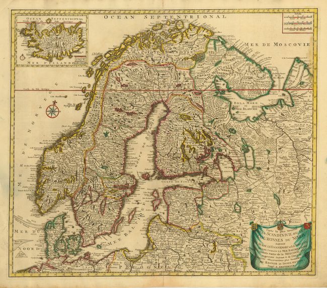
Subject: Scandinavia
Period: 1730 (circa)
Publication:
Color: Hand Color
Size:
22.8 x 19.8 inches
57.9 x 50.3 cm
Download High Resolution Image
(or just click on image to launch the Zoom viewer)
(or just click on image to launch the Zoom viewer)