Catalog Archive
Auction 119, Lot 479

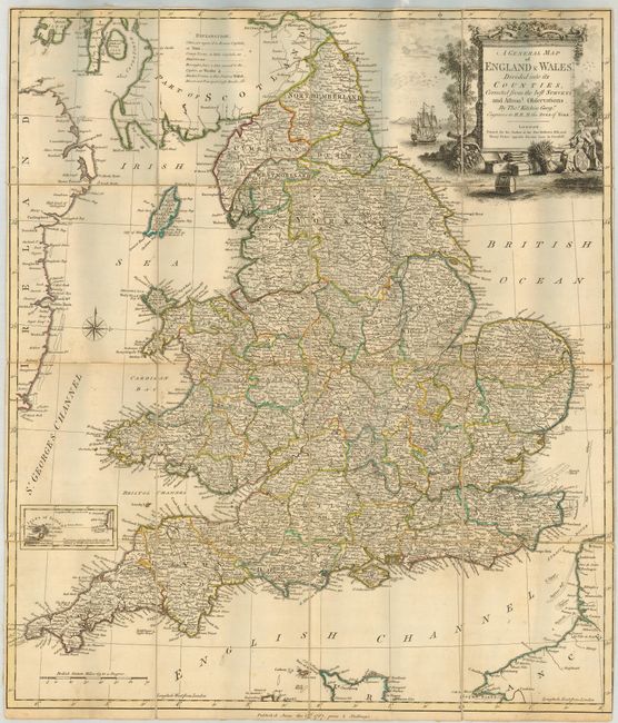
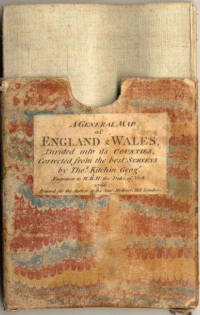
"A General Map of England & Wales, Divided into its Counties, Corrected from the best Surveys…", Kitchin, Thomas

Subject: England & Wales

Period: 1767 (dated)

Publication:

Color: Hand Color

Size:
20.8 x 24.3 inches
52.8 x 61.7 cm
Download High Resolution Image
(or just click on image to launch the Zoom viewer)

Rare folding map showing a detailed view of England and Wales with county delineations and generous amounts of information on roads, crossroads and market towns. An inset provides information on the Isles of Scilly. The map is graced with a lovely landscape style cartouche featuring a great ship, cannon, cornucopia and an allegorical figure. Dissected, linen-backed and folded into the original marble-paper slipcase. The slipcase is dated 1766, but the map is dated 1767.

References:

Condition: A

Nice, sharp impression with original outline color. The map is slightly cockled and the slipcase is worn with minor loss of paper.

Estimate: $300 - $400

Sold for: $600

Closed on 5/9/2007

Archived