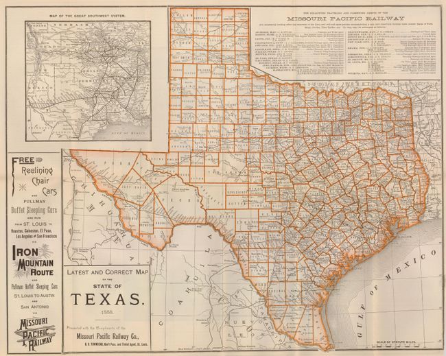
Subject: Texas
Period: 1888 (dated)
Publication:
Color: Printed Color
Size:
20.8 x 16.3 inches
52.8 x 41.4 cm
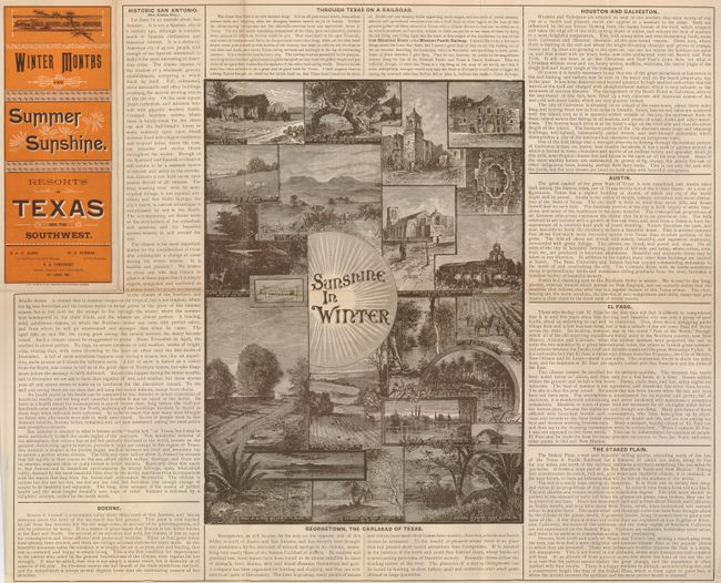
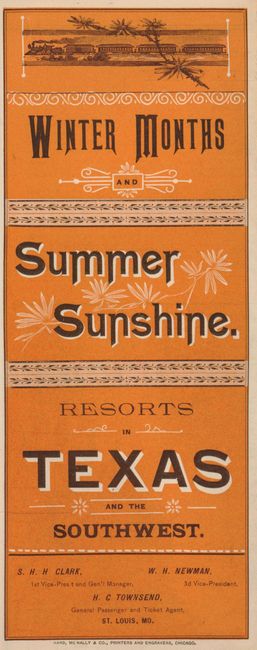
Beautiful map of the state of Texas showing the route of the Iron Mountain Route and the Missouri Pacific Railway. This rare map is inset with a map of the Great Southwest System detailing the railroads serving the region. The reverse of the map is filled with text extolling the various virtues of Texas - from healing consumptives, to soaking in the beneficial waters of Georgetown and enjoying the lovely winter sun. The map folds into vivid paper self wrappers entitled, "Winter Months and Summer Sunshine. Resorts in Texas and the Southwest."(3.6 x 8.8)
References:
Condition: B
A couple of splits at fold intersections, still nice with vibrant color.