Catalog Archive
Auction 119, Lot 330

"North-Carolina", Scott, Joseph
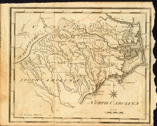
Subject: North Carolina

Period: 1795 (published)

Publication: United States Gazetteer

Color: Black & White

Size:
7.5 x 6 inches
19.1 x 15.2 cm
Download High Resolution Image
(or just click on image to launch the Zoom viewer)

A charming and early American-produced copper engraved map in its first state. It locates Roanoke Island, Cape Fear and two swamps; the "Gr. Alligator Dis. Swamp" along the southern edge of the Albemarle Strait, and the "Gr. Dismal Swamp" along the northern edge. The southwest territory is located just to the west of Charlotte.

References: Wheat & Brun #573.

Condition: B

Some offsetting and a little surface soiling at left. Right margin uneven and close on the binding side.

Estimate: $200 - $250

Sold for: $220

Closed on 5/9/2007

Archived