Subject: Geography Books
Period: 1850 (dated)
Publication:
Color: Hand Color
Size:
10 x 12.5 inches
25.4 x 31.8 cm
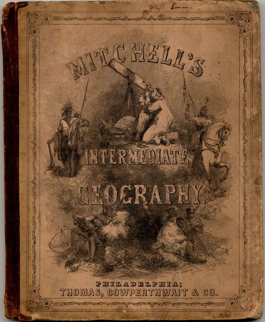
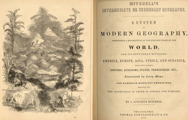
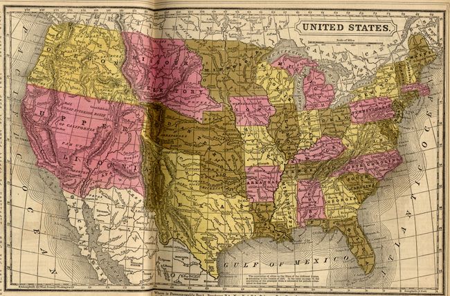
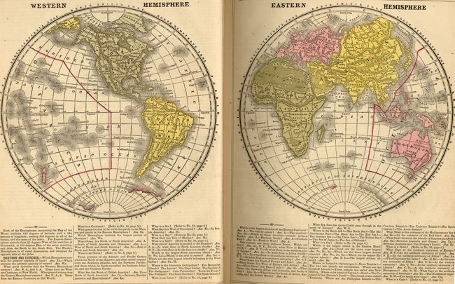
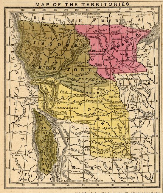
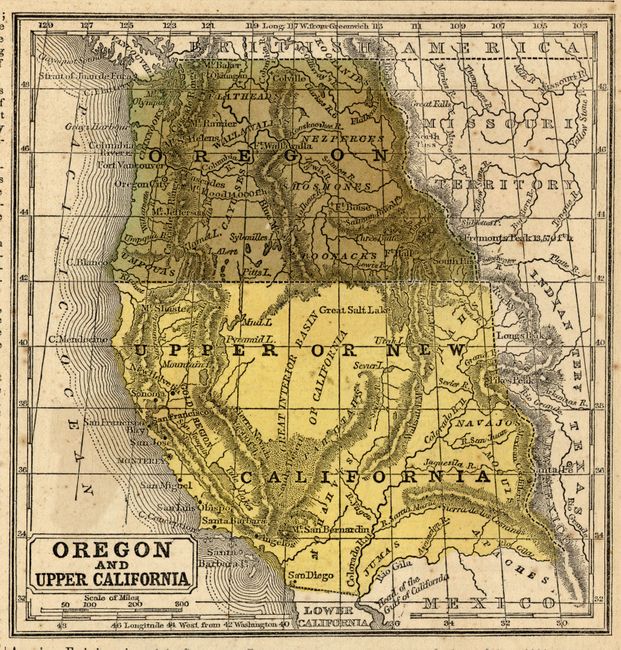
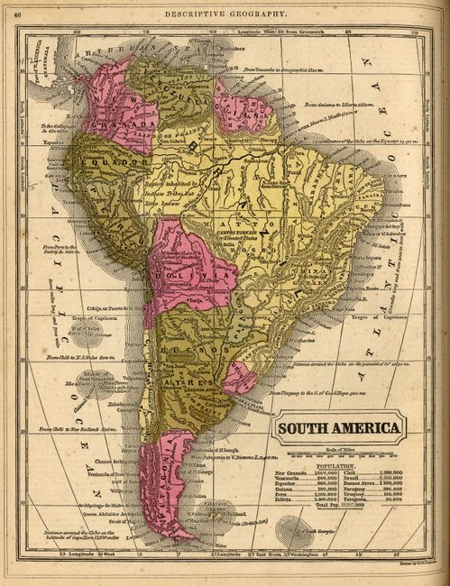
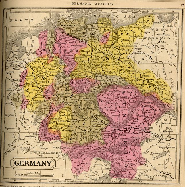
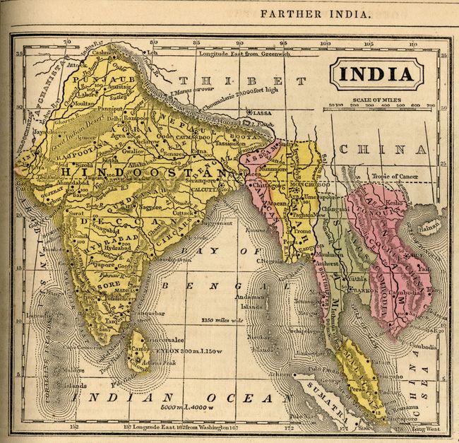
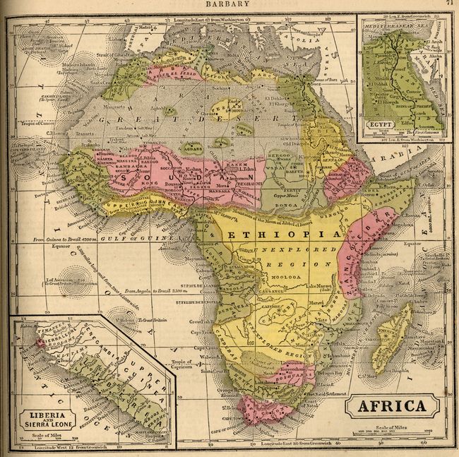
This complete example of Mitchell's Geography was published for "the instruction of Youth in Schools and Families." It is richly illustrated with wood engraved vignettes, diagrams and statistics. It includes maps of America, Europe, Asia, Africa, Oceanica, and all of the states and territories of the United States. This fine geography contains 40 hand-colored maps, several U.S. maps with unusual western boundaries, an elaborate frontispiece describing the Comparative Height of Mountains, and six pages of amusing advertisements. The map of Texas shows the state in its largest configuration, circa 1846. The map of the west contains only Upper or New California, which occupies all of the Southwest, and a large Oregon Territory extending west to the Continental Divide, plus more. Hardbound in 1/2 leather and pictorial boards, frontis, title page, preface, contents, engravings and maps, advertisements, 80pp.
References:
Condition: B
Binding is partially loose, but all signatures are tight. Back cover separated, front cover partially separated with heavy shelf wear. Text and maps generally good, some pages dog-eared. First blank endpaper with several lines of handwritten text in ink.