Subject: Geography Books
Period: 1833 (dated)
Publication:
Color: Hand Color
Size:
7.5 x 9.8 inches
19.1 x 24.9 cm
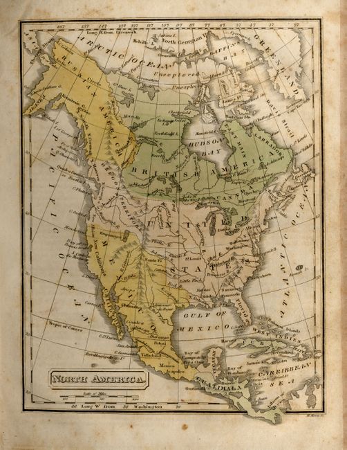
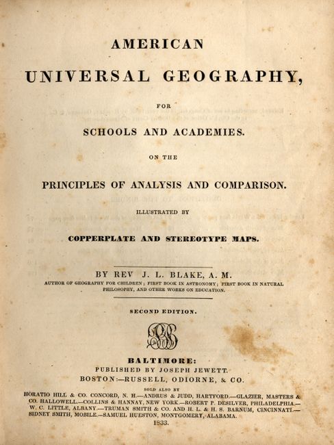
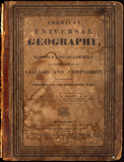
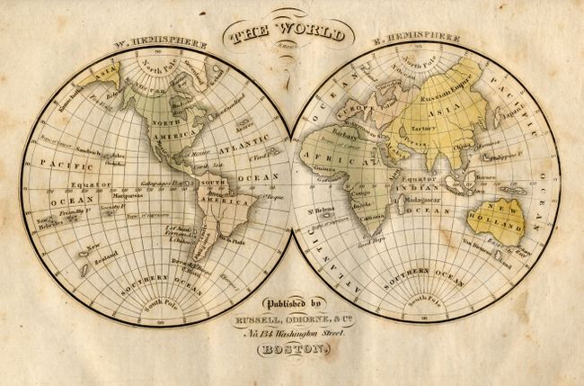
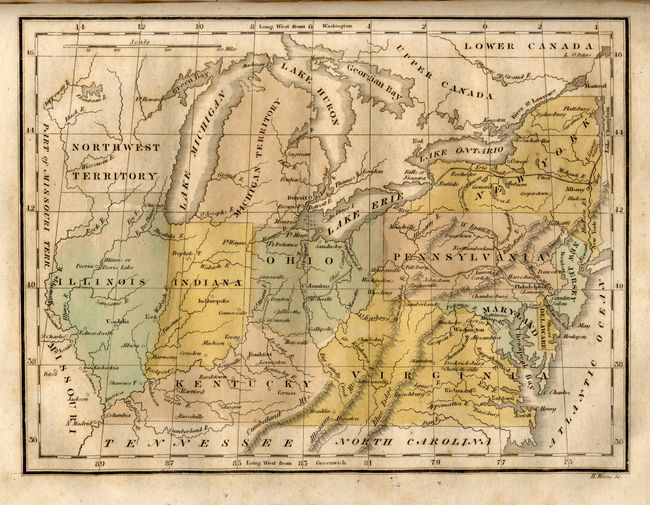
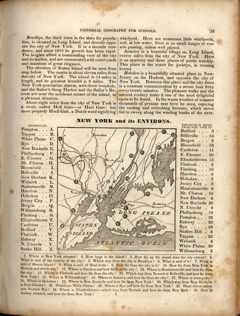
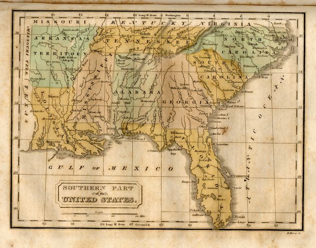
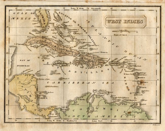
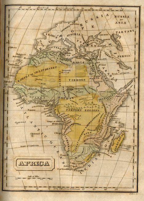
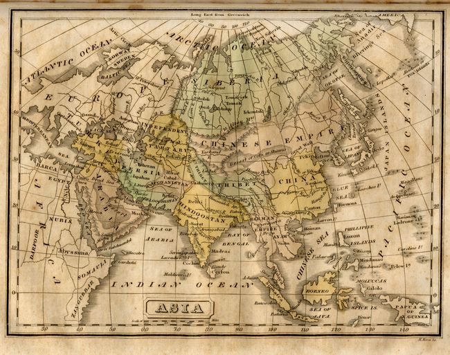
A nice example of an early school geography features twelve hand-colored maps by H. Morse. This complete atlas includes four maps of the U.S. and its sections, plus numerous other black and white maps within the text of American cities, including early maps of Detroit and St. Louis. North America is divided into Russian America, British America, the United States, Mexico, Yucatan, and Guatemala. West of the Missouri River the United States defines only the Arkansas Territory and Missouri. The Northwest Territory and Michigan Territory are also shown on this map. The New England States shows an early border between Maine and Canada. The untitled Mid-Atlantic to Mid-West map includes Michigan Territory without the Upper Peninsula. and The Southern Part of the United States extends to show the Arkansas Territory. This second edition geography was published by Joseph Jewett. Original hardbound, 1/2 leather and boards, two title pages, Directions to the Binder and Preface, maps, 144pp.
References:
Condition: C
Covers detached, damp stained and with bumping to corners. Text and maps foxed and toned, otherwise good. Binding a bit loose. Pencil and ink notations on front of first blank endpaper.