Catalog Archive
Auction 118, Lot 795

"Regnum Salomonicum Seu Tabula digesta ad Libros Iudicum, Regum, Paral, et Prophetarum …", Mortier, Pierre
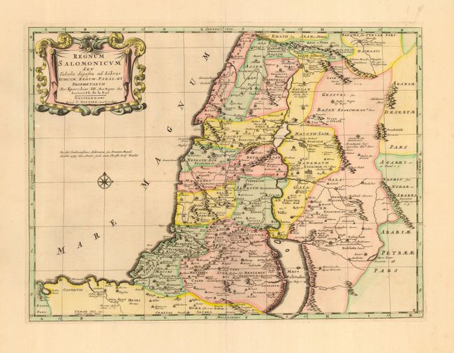
Subject: Holy Land

Period: 1705 (circa)

Publication:

Color: Hand Color

Size:
19.8 x 15.4 inches
50.3 x 39.1 cm
Download High Resolution Image
(or just click on image to launch the Zoom viewer)

Very handsome map of the Holy Land during the reign of King Solomon, showing the provinces of the Twelve Tribes. This was based on a map prepared by Phillipe de la Rue and first published by Pierre Mariette in 1651. Solomon reigned over a large region that included Damascus in the north and the entire area east of the Jordan. The western shoreline goes from Sidon in the north to Gaza in the south. The map is adorned with a lovely drape and ribbon-style cartouche.

References: Laor #415.

Condition: A

Excellent impression with very attractive color. Couple of almost invisible spots in a blank portion of the map.

Estimate: $300 - $400

Sold for: $325

Closed on 3/6/2007

Archived