Catalog Archive
Auction 118, Lot 221

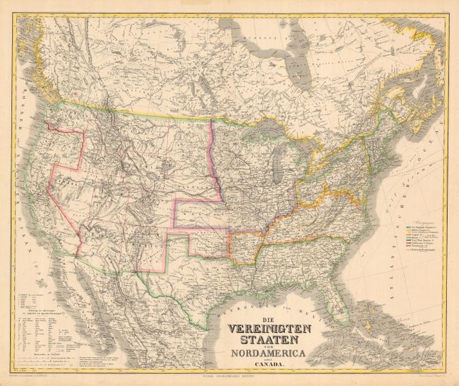
"Die Vereinigten Staaten von Nord America nebst Canada", Kiepert, Heinrich C.

Subject: United States

Period: 1870 (circa)

Publication: Geographisches Institut,

Color: Hand Color

Size:
25.3 x 20.7 inches
64.3 x 52.6 cm
Download High Resolution Image
(or just click on image to launch the Zoom viewer)

Large and very detailed German map covering the United States with parts of Canada and Mexico. There is superb detail of the railroads and emigrant roads. This map was initially issued just prior to the Civil War. It has been updated to show the current state and territory boundaries but the coloring still shows regional divisions, including the slave states.

References:

Condition: B

Generally good with a couple of light spots of foxing.

Estimate: $150 - $200

Sold for: $110

Closed on 3/6/2007

Archived