Subject: Atlases, District of Columbia
Period: 1870 (circa)
Publication:
Color: Hand Color
Size:
22 x 18 inches
55.9 x 45.7 cm
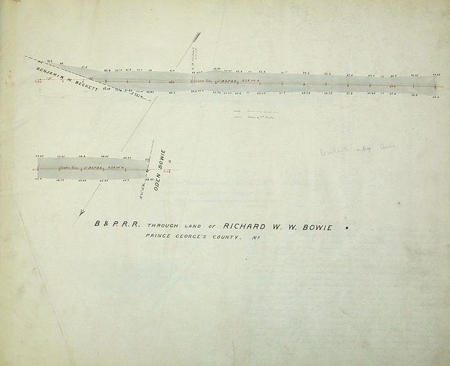
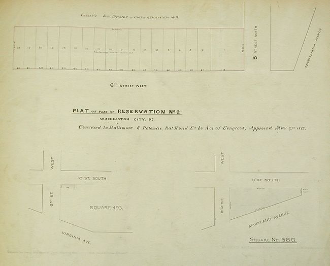
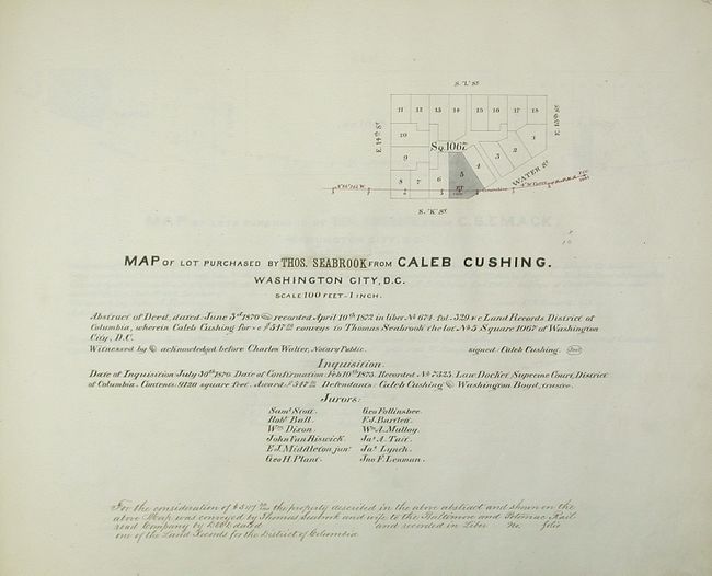
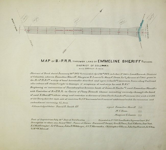
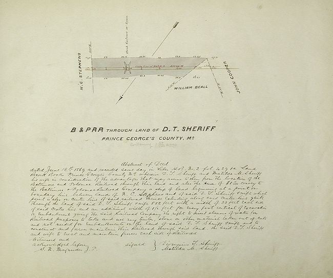
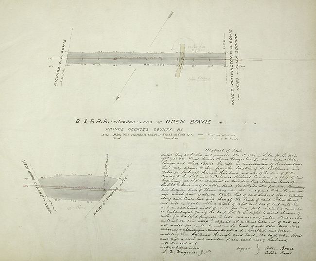
This remarkable manuscript atlas is a uniquely historic and important working document showing the Baltimore and Potomac Rail Company's acquisition of land through Washington, D.C. It features 78 hand drawn land maps and descriptions, many beautifully hand colored. The B & P R.R. was purchased by the Pennsylvania R.R. in 1867 and merged into the Baltimore & Ohio R.R. This merger was fought against by the State of Maryland but was allowed under the Baltimore and Potomac Charter thus ending the B & O's monopoly on Baltimore to Washington travel. The maps in this atlas define the route as it approaches and then travels through the city along Virginia Avenue and passes numerous landmarks such as the Congressional Cemetery, the Washington Navy Yard and eventually crosses the Potomac River at the Jefferson Monument. This route exists today, and is now being used by Amtrak as part of it's Northeast Corridor.
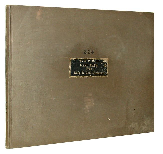
Each map is an account of deed purchases, and contains the names of numerous influential people including Oden Bowie, the president of the rail company who later was elected the 34th Governor of Maryland, Caleb Cushing, a Congressman from Massachusetts and Attorney General for President Pierce's cabinet, who later became the first American Diplomat to China. There are also businessmen, judges and several members of the Maryland House of Delegates represented. Because this unusual and important manuscript atlas is truly one of a kind, and is impossible to thoroughly research and describe, we would encourage all interested parties to contact us for additional details. No title page or index. Folio, hardbound in original brown cloth with gilt title on leather.
References:
Condition: B
Text and maps generally good to very good. A couple pages with minor separations, and the center page with a large binding tear that reaches nearly half the way from bottom to top. Cover shows usual rubbing and minor bumping on corners.