Subject: World & Continents
Period: 1760 (circa)
Publication: Atlas Geographicus Portatilis
Color: Hand Color
Size:
4.9 x 3.7 inches
12.4 x 9.4 cm
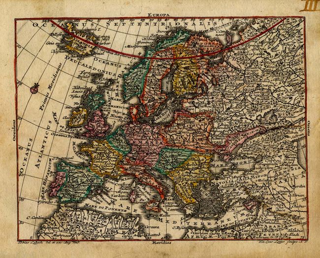
Charming set of miniature maps drawn by Tobias Lobeck and engraved by Tobias Conrad Lotter. Each map is minutely engraved with an incredible amount of detail for such small maps-they are almost jewel-like and have some text and details small enough to require a loupe to read.
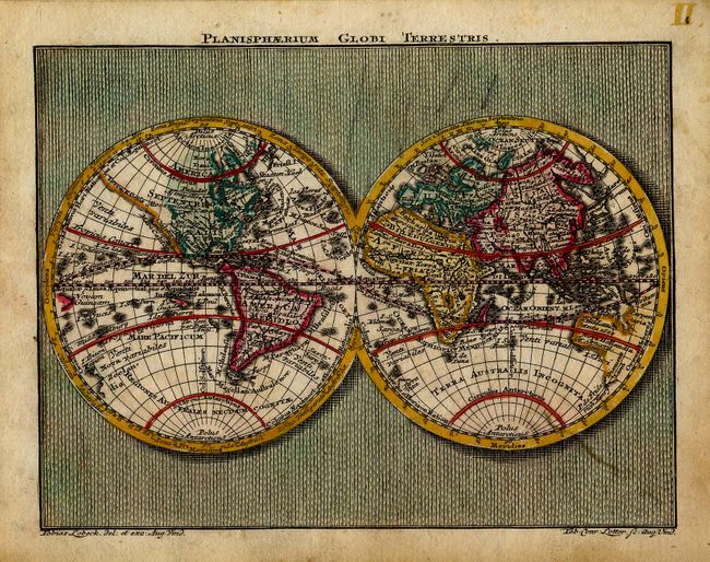
1) Planisphaerium Globi Terrestris displays a double hemisphere world set in a minutely patterned background.
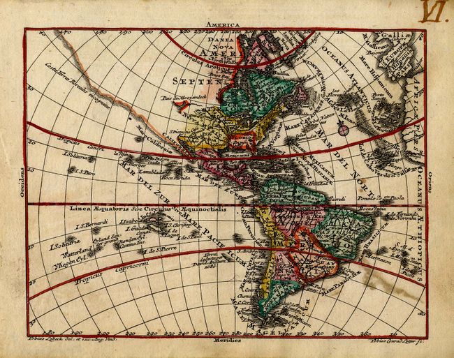
2) America delineates an expansive northwest coast of North America labeled Costa Terre Borealis incognitae that is completely blank except for a partial inland sea noted Pais du Moozemleck.
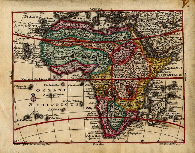
3) Africa displays typical spurious interior detail with a mass of interrelated rivers and lakes, showing the course for the Nile as two lakes in South Africa.
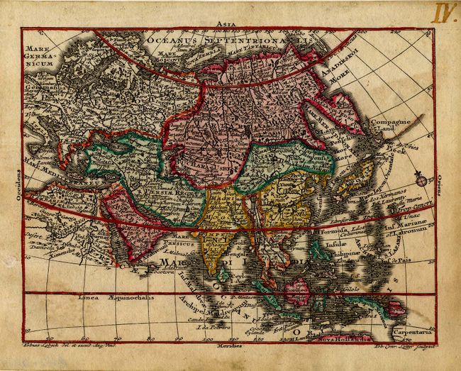
4) The map of Asia presents a very up-to-date rendition of the northeast coast, with Iedso (Hokkaido) portrayed as a part of Kamchatka and a remnant of Compagnie Land still shown in the North Pacific.
5) Europa presents a good portion of Asia along with Europe, extending up to Iceland.
References: King (1st ed.) pp. 36 & 150.
Condition: B
Lovely impressions with nice original color. There are some minor stains and some manuscript ink numbers in the top margins.