Catalog Archive
Auction 117, Lot 475

"Le Duche de Pomeranie divise en ses Principales Parties", Sanson/Jaillot

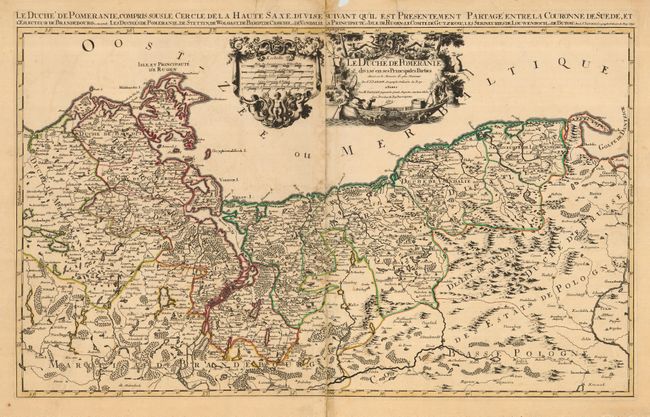
Subject: Northeastern Europe, Poland and Germany

Period: 1692 (dated)

Publication:

Color: Hand Color

Size:
34.5 x 20.5 inches
87.6 x 52.1 cm
Download High Resolution Image
(or just click on image to launch the Zoom viewer)

Handsome, large map detailing the Duchy of Pomerania along the Baltic Sea. This region is now divided between Poland and Germany, with Germany taking possession of the western portion, including Mecklenburg, and Poland taking the eastern portion including Dazing or Gdansk. Printed on two joined sheets, as issued.

References:

Condition: C

This map is very worthy of conservation with an excellent impression and original outline color. It has old tape on the verso closing a centerfold split, two short tears entering map and some marginal tears. There are a few spots of foxing along centerfold.

Estimate: $250 - $350

Sold for: $180

Closed on 12/6/2006

Archived