Catalog Archive
Auction 117, Lot 338

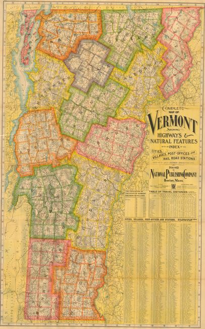
"Complete Map of Vermont Showing Highways & Natural Features", National Publishing Co.

Subject: Vermont

Period: 1900 (circa)

Publication:

Color: Printed Color

Size:
33.5 x 54.5 inches
85.1 x 138.4 cm
Download High Resolution Image
(or just click on image to launch the Zoom viewer)

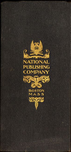
This brilliantly-colored map of Vermont shows much information on roads, railroads, cities, villages and post offices. There is a table of cities to the left and a chart of the population censuses taken from 1790-1900, showing the growth from 85,000 to 343,000 people in the state. The map is linen-backed and folds into a handsome, gold embossed case that measures 5" x 10.5".

References:

Condition: A

Very good with some light fold separations at intersections and one spot of foxing.

Estimate: $140 - $180

Sold for: $100

Closed on 12/6/2006

Archived