Catalog Archive
Auction 117, Lot 337

"Rail-Road Map of Vermont", Railroad Companies, (Various)
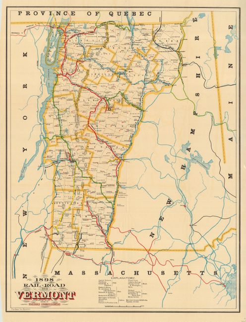
Subject: Vermont

Period: 1898 (dated)

Publication:

Color: Printed Color

Size:
15.8 x 20.5 inches
40.1 x 52.1 cm
Download High Resolution Image
(or just click on image to launch the Zoom viewer)

A colorful map of Vermont detailing the state's railroad system and published to accompany the Report of Railroad Commissioners. The map also details the counties and county seats with limited watershed and topographical information. A legend at the bottom explains the color coding that illustrates the various lines. The extensive network of railroads extends throughout New Hampshire and to Boston. The total main line in Vermont is given as 992 miles. A handsome and seldom seen map.

References:

Condition: A

Fine impression and coloring. Original margins.

Estimate: $120 - $140

Sold for: $90

Closed on 12/6/2006

Archived