Subject: Pennsylvania
Period: 1833 (dated)
Publication:
Color: Hand Color
Size:
15.3 x 12.6 inches
38.9 x 32 cm
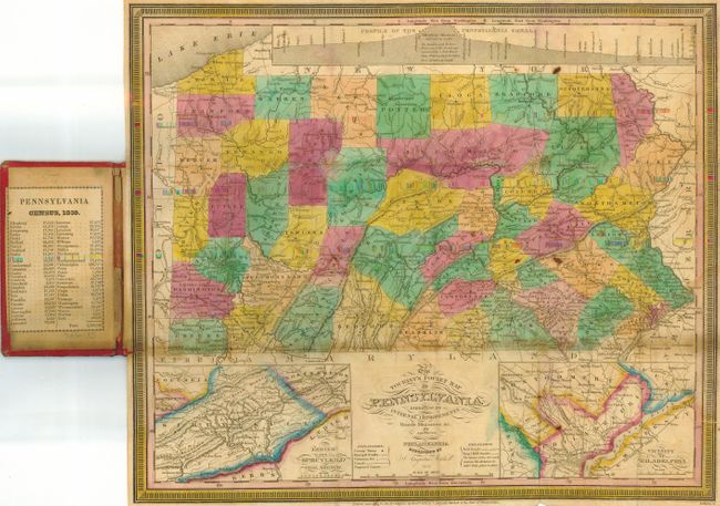
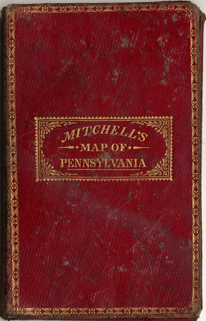
Lovely pocket map has insets of the Lehigh and Schuylkill Coal Regions and the Vicinity of Philadelphia. Although dated 1833, the map shows the county configurations of 1835, with Potter County formed. There are many roads, towns, railroads and topographical features noted, typical of these wonderfully detailed maps. The Profile of the Pennsylvania Canal is shown at the top of the map. This plate originally was used by Finley, but Mitchell purchased his plates in 1831and issued them under his own name. This is a very early issue with Mitchell's imprint and an attractive keyboard-style border. Printed on fine banknote paper and folding into original, gilt-stamped leather case measuring 3" x 5". Paper label inside the front cover gives the census figures for 1830.
References:
Condition: B+
Original hand coloring. The map has a few spots of foxing and some irregularity in the coloring, but otherwise very nice for a map of this type.