Catalog Archive
Auction 117, Lot 295

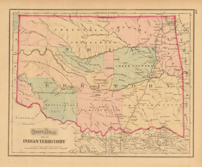
"Gray's Atlas Map of Indian Territory", Gray, O. W.
Subject: Oklahoma

Period: 1873 (published)

Publication: Atlas of the United States

Color: Hand Color

Size:
14.8 x 11.8 inches
37.6 x 30 cm
Download High Resolution Image
(or just click on image to launch the Zoom viewer)

This handsome map shows just a hint of the panhandle beyond the red outline, here labeled "Public Lands." The territory is divided among the major tribes including the nations of the Kiowa, Comanche & Apache; Chickasaw; Choctaw; Creek; Cheyennes; Cherokee, and several more. The map was printed from the Colton plate, and was registered by G.W. & C.B. Colton in 1872.

References:

Condition: A

Good color and impression with full margins.

Estimate: $90 - $110

Sold for: $95

Closed on 12/6/2006

Archived