Catalog Archive
Auction 117, Lot 199

"Map Exhibiting the Leading Transportation Lines of the Pacific Coast. Prepared for the Report of the Bureau of Statistics on the Internal Commerce of the United States", Rand McNally & Co.

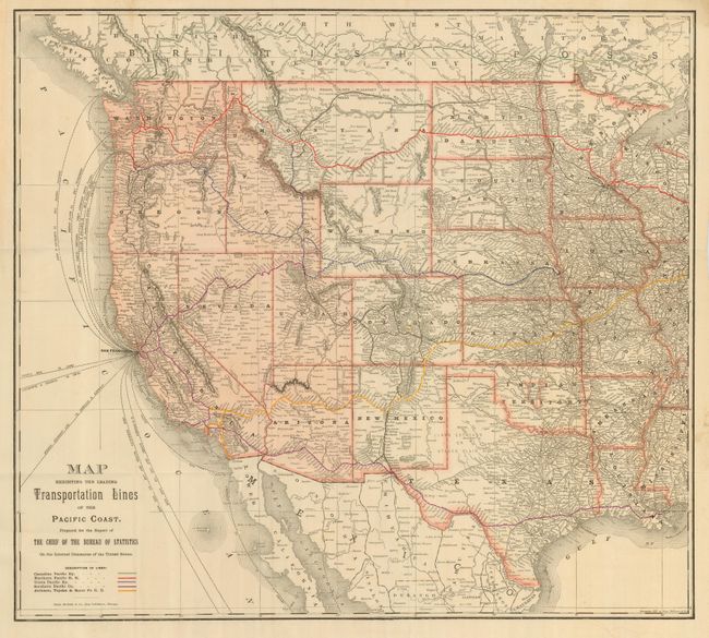
Subject: Western United States

Period: 1887 (dated)

Publication:

Color: Hand Color

Size:
22.8 x 20.5 inches
57.9 x 52.1 cm
Download High Resolution Image
(or just click on image to launch the Zoom viewer)

Large folding chart of the western United States that details rail and sea routes. Attractively colored with the western states highlighted in pink and the five major railroad systems shown in primary colors. Locates the routes of the Denver & Rio Grande (shown in black), the Canadian Pacific, Northern Pacific, Union Pacific, Southern Pacific, and the Atchison, Topeka & Santa Fe railroads. Shows the shipping routes of clipper and steamer ships to/from San Francisco, Seattle, Portland and several other coastal cities. Blank verso.

References:

Condition: A

Very nice example with good impression and coloring and full margins.

Estimate: $120 - $180

Sold for: $210

Closed on 12/6/2006

Archived