Catalog Archive
Auction 117, Lot 102
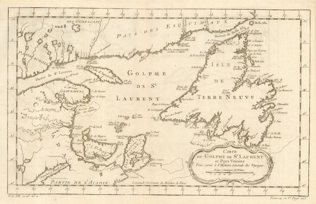
"Carte du Golphe de St. Laurent et Pays Voisins", Bellin, Jacques Nicolas
Subject: Canada - Maritime Provinces
Period: 1760 (circa)
Publication: Abrege Histoire Generale des Voyages, La Harpe
Color: Black & White
Size:
14.2 x 8.8 inches
36.1 x 22.4 cm
Download High Resolution Image
(or just click on image to launch the Zoom viewer)
(or just click on image to launch the Zoom viewer)