Catalog Archive
Auction 116, Lot 614

"Mappa representans Partem Septentrionalem Imperii Russici ab ostio Ieniseae Fluvii usque ad Mare Album", Treskot, Johann
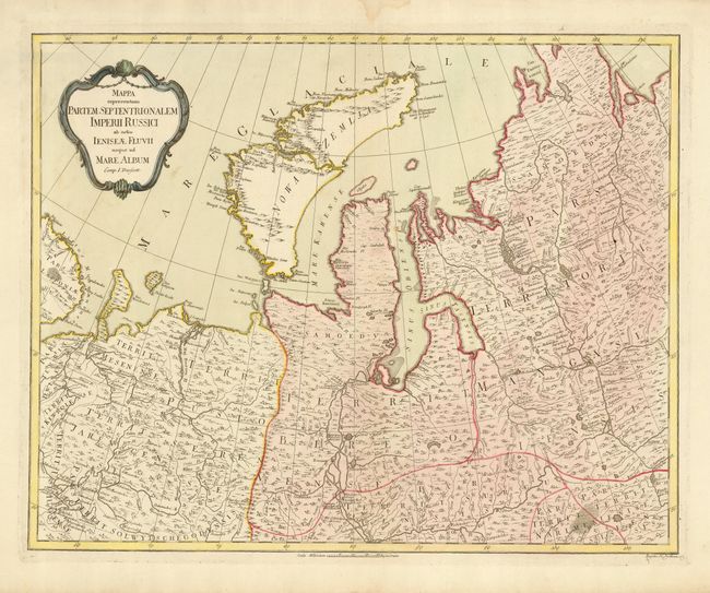
Subject: Russia

Period: 1775 (circa)

Publication:

Color: Hand Color

Size:
22.8 x 18.2 inches
57.9 x 46.2 cm
Download High Resolution Image
(or just click on image to launch the Zoom viewer)

This is a very scarce regional map prepared for Peter the Great's survey and published by the Geographic Department of the Imperial Academy of Science. It shows the northwestern part of Siberia and the island Novaya Zemlya in the Arctic Ocean. The map provides very fine detail of the rivers and lakes, forests, mountains, moors and settlements. Title is contained in a decorative cartouche.

References:

Condition: A

Original color with some damp stains and short tears in blank margins. Remnants of framing hinges on verso.

Estimate: $350 - $400

Sold for: $350

Closed on 9/20/2006

Archived