Catalog Archive
Auction 116, Lot 56
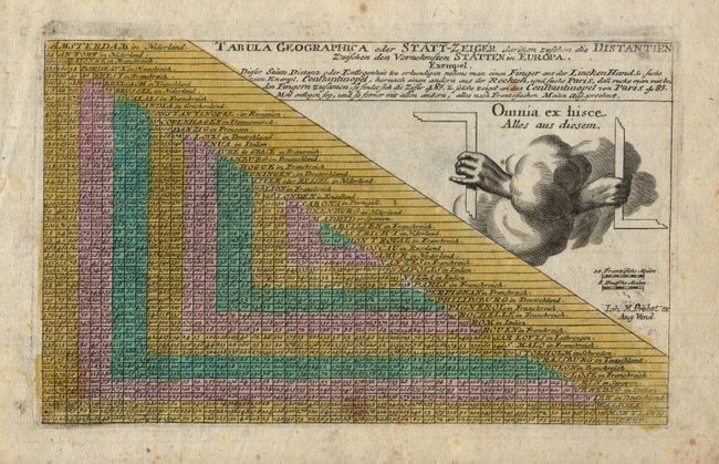
"Tabula Geographica oder Statt-Zeiger darinen zuschen die Distantien Zwischen den Vornehmsten Statten in Europa", Probst, Johann Michael
Subject: Cartographic Miscellany
Period: 1789 (circa)
Publication: Atlas Minor ex Tabulis Geographicis
Color: Hand Color
Size:
9.5 x 5.7 inches
24.1 x 14.5 cm
Download High Resolution Image
(or just click on image to launch the Zoom viewer)
(or just click on image to launch the Zoom viewer)