Catalog Archive
Auction 116, Lot 463
"The Coast of Norway and Lapland from North Kyn to the River Kola", Mount & Page
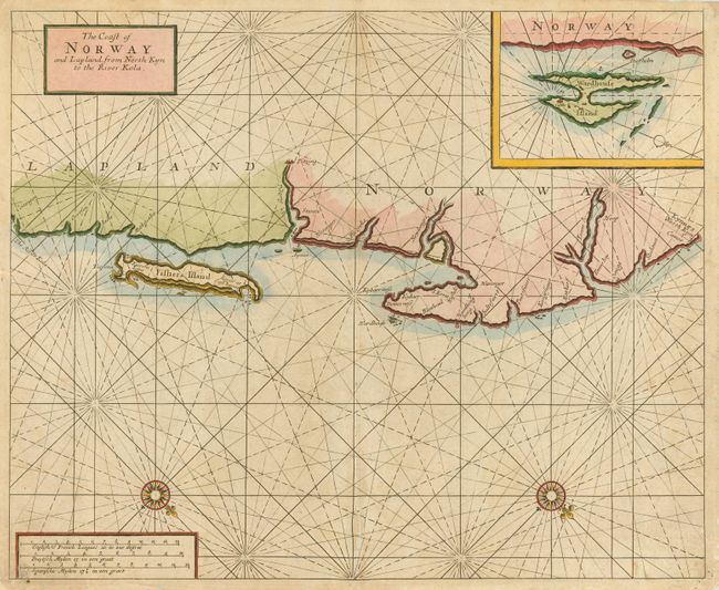
Subject: Norway and Russia
Period: 1700 (circa)
Publication: The English Pilot the second Part...
Color: Hand Color
Size:
20 x 16.3 inches
50.8 x 41.4 cm
Download High Resolution Image
(or just click on image to launch the Zoom viewer)
(or just click on image to launch the Zoom viewer)