Catalog Archive
Auction 116, Lot 440

"[Lot of 2] A Map of Hartfordshire [and] A Map of Kent", Stockdale, John
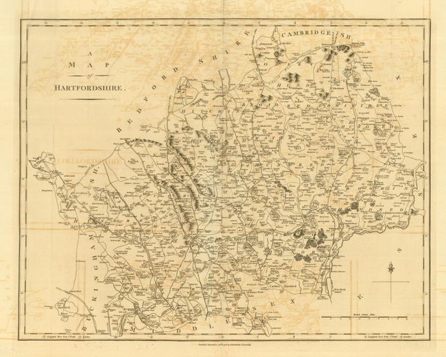
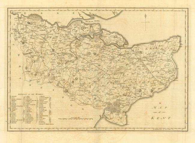
Subject: England

Period: 1797-98 (dated)

Publication:

Color: Black & White

Size:
19.3 x 15.3 inches
49 x 38.9 cm
Download High Resolution Image
(or just click on image to launch the Zoom viewer)

These two finely engraved, copper plate maps show abundant detail, predominately of the road system. Both have distance scales in British statute miles and a four point compass rose with fleur-de-lys. The latter shows the course of the Thames up to London and includes a table "Reference to the Hundreds" that lists 61 places.

References:

Condition: B

Overall offsetting. Folding, as issued, with small fold intersection split on Hartfordshire.

Estimate: $150 - $200

Sold for: $75

Closed on 9/20/2006

Archived