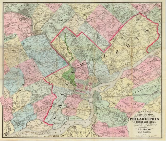
Subject: Pennsylvania
Period: 1874 (dated)
Publication:
Color: Hand Color
Size:
28.5 x 25 inches
72.4 x 63.5 cm
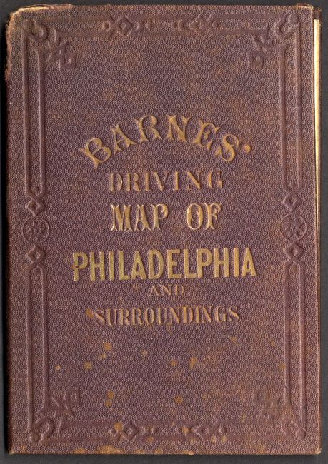
A terrific pocket map printed on bank note paper that is filled with information. The map extends further than many maps of Philadelphia, east to show Snow Hill and Riverside, and west to include Chester and King of Prussia. Map folds into original cloth covers. The cover includes original paper label on inside front cover advertising other cartographic material by J.L. Smith, Successor to R.L. Barnes, No. 27 South Sixth Street, Phila. The fine engraving, beautiful coloring and Victorian-style titling make this a handsome map.
References:
Condition: A
Map has wonderful original color and is near fine. Covers have some wear at top of spine and a few spots, else very good.