Subject: Atlases
Period: 1863 (dated)
Publication:
Color: Hand Color
Size:
15.3 x 18 inches
38.9 x 45.7 cm
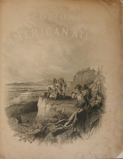
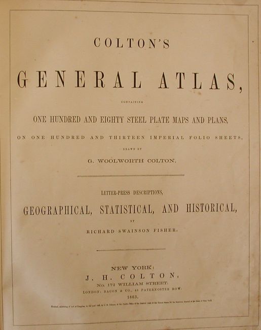
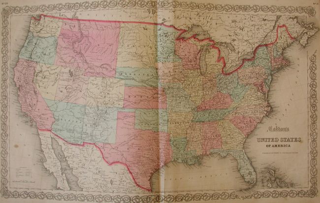
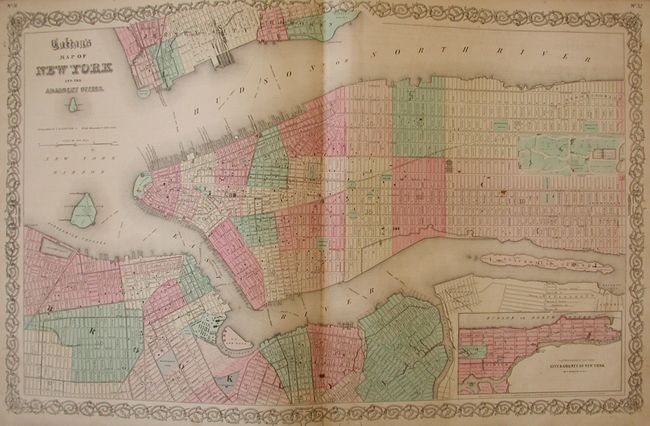
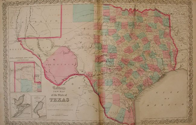
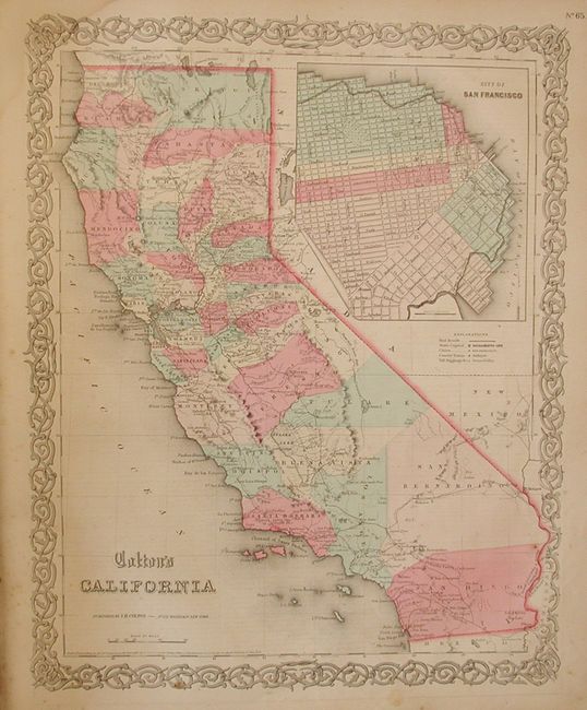
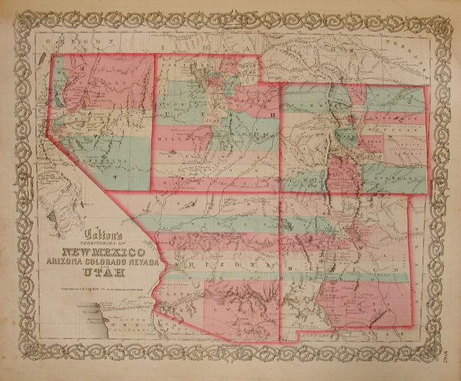
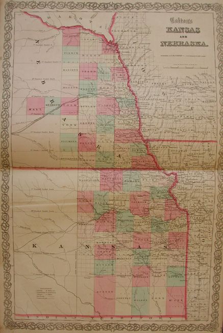
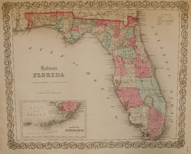
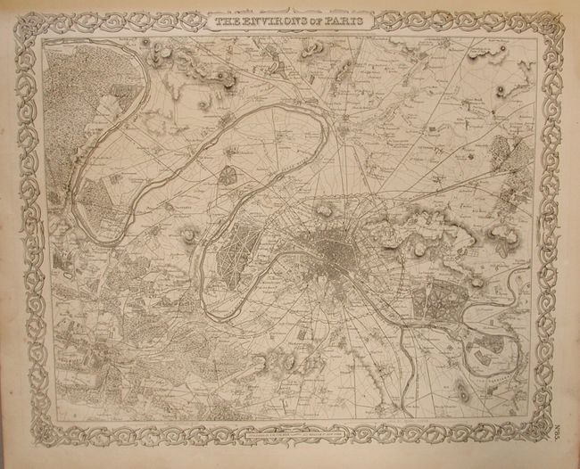
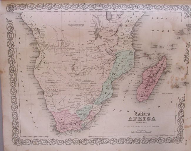
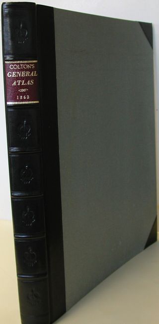
Colton's single volume folio atlas contains 102 steel engraved maps, including 10 double-page sheets, plus the frontispiece. The lovely frontispiece is titled "Colton's American Atlas" and depicts a group of Native Americans overlooking the development overwhelming their land. Includes the double-page map of Texas and of Nebraska and Kansas. The map of the Southwest shows Arizona in possession of southern Nevada including Las Vegas. California features a large plan of San Francisco. The city plans of Paris and London are uncolored, as they always are in this atlas. The maps feature Colton's decorative scroll borders. Rebound in gray cloth with quarter black leather with gilt stamped red leather label on spine, marbled inside, new free end papers. The atlas is complete and sound. Hardbound, frontispiece, title page, list of maps, text and maps. This example is a grand old atlas that wears her age well, and shows much better than the condition would indicate. Lower Canada has small area missing in margin. Texas has a soft crease along fold, and short tear just to border at bottom. Short split and stain in margin just into map.
References:
Condition: B
Beautiful binding. Frontispiece foxing or stained at edges and backed with paper. The contents are generally very good, but there is enough occasional scattered foxing and some marginal stains to lower the condition to good although main maps are fine.