Catalog Archive
Auction 115, Lot 745

"Coste Occidentale d'Afrique, depuis le XIe. Degre de Latitude Meridionale…", Bellin, Jacques Nicolas

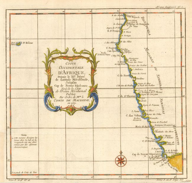
Subject: Africa - Western

Period: 1739 (dated)

Publication:

Color: Hand Color

Size:
10.3 x 9.8 inches
26.2 x 24.9 cm
Download High Resolution Image
(or just click on image to launch the Zoom viewer)

A boldly engraved and colored map that covers the southwestern coast of Africa from the Cape of Good Hope up to about 11° S. and includes the coastlines of today's South Africa, Namibia, and Angola. Offshore from the Cape of Good Hope is a large sandbank labeled Banc des Eguilles. Extends to include the island of St. Helena and names Fort St. James. Decorated with a title cartouche and compass rose.

References:

Condition: A

Lovely, dark impression and fine hand coloring. Some faint offsetting in blank area, close trimmed at bottom, as issued.

Estimate: $120 - $140

Sold for: $90

Closed on 6/21/2006

Archived