Catalog Archive
Auction 115, Lot 330
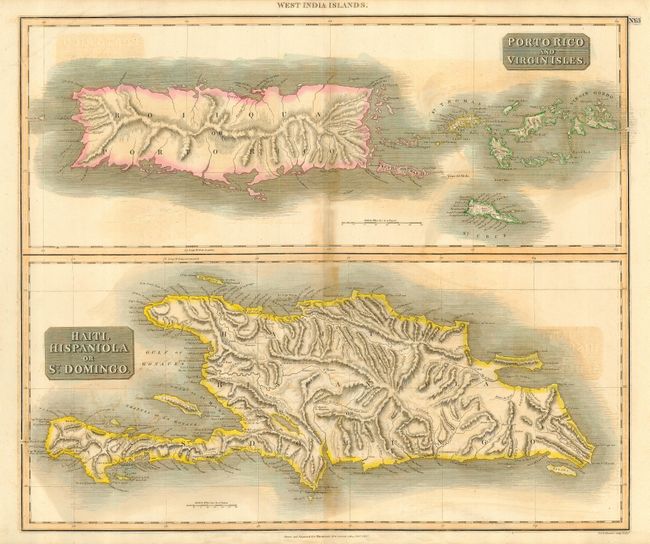
"West India Islands - Porto Rico and Virgin Isles [on sheet with] Haiti, Hispaniola or St. Domingo", Thomson, John
Subject: Greater Antilles
Period: 1815 (dated)
Publication: New General Atlas
Color: Hand Color
Size:
23.8 x 20 inches
60.5 x 50.8 cm
Download High Resolution Image
(or just click on image to launch the Zoom viewer)
(or just click on image to launch the Zoom viewer)