Catalog Archive
Auction 115, Lot 288

"Port et Ville de Charles-Town dans la Caroline", Bellin, Jacques Nicolas

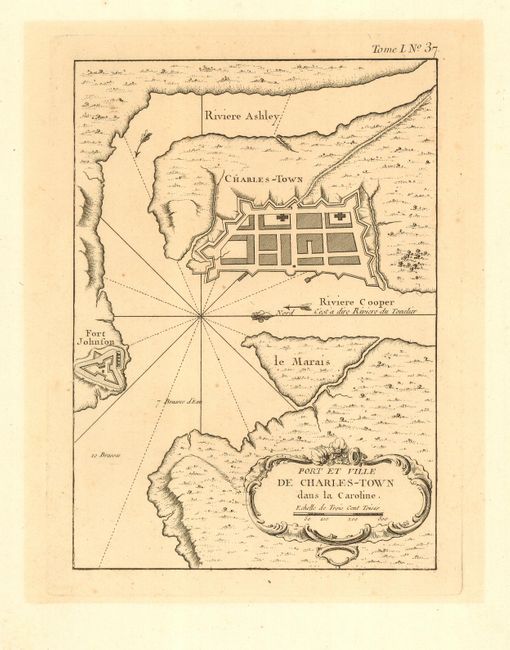
Subject: South Carolina

Period: 1764 (circa)

Publication: Le Petit Atlas Maritime

Color: Black & White

Size:
6 x 8.3 inches
15.2 x 21.1 cm
Download High Resolution Image
(or just click on image to launch the Zoom viewer)

Fine, early plan shows the fortified town of Charlestown bounded by the Ashley and Cooper Rivers. Fort Johnson is shown on the mainland across the Charleston Harbor. Today's Patriot's Point on Mt. Pleasant is here called le Marais (the marsh). The fortification at Fort Johnson, which protects the town and harbor, is prominently delineated.

References: Cumming #343; Phillips (A) 3508, v.1-37.

Condition: A

Crisp, dark impression on a full sheet with wide margins. Previously framed with lightly toned area inside matting evident, a couple tiny spots, still the map image is very good.

Estimate: $250 - $300

Sold for: $350

Closed on 6/21/2006

Archived