Catalog Archive
Auction 115, Lot 155

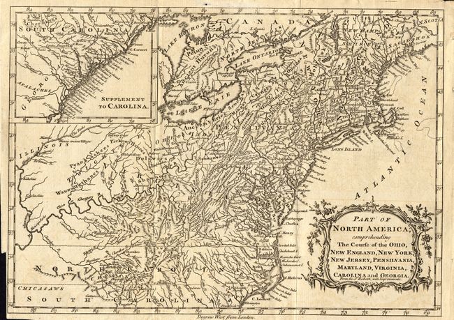
"Part of North America, comprehending The Course of the Ohio, New England, New York, New Jersey, Pensilvania, Maryland, Virginia, Carolina and Georgia", Kitchin, Thomas

Subject: United States - Eastern

Period: 1760 (circa)

Publication: New Geographical Dictionary

Color: Black & White

Size:
11.6 x 8 inches
29.5 x 20.3 cm
Download High Resolution Image
(or just click on image to launch the Zoom viewer)

Based on a larger map by Robert de Vaugondy, this fine copper engraving is filled with detail of early settlement, Indian villages, and topography. The colonies are shown extending to the Illinois and Mississippi Rivers. Large inset of South Carolina and part of Georgia is at upper left; balanced by a decorative title cartouche at lower right.

References: McCorkle #759.2.

Condition: A

Lightly toned with a bit of faint offsetting. Folds as issued with binding trim nearly to neatline at bottom left. Some tiny tears in blank margins.

Estimate: $450 - $500

Sold for: $425

Closed on 6/21/2006

Archived