Subject: Atlases, New Hampshire
Period: 1877 (dated)
Publication:
Color: Hand Color
Size:
14.3 x 17.8 inches
36.3 x 45.2 cm
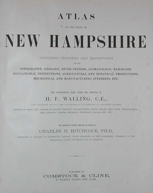
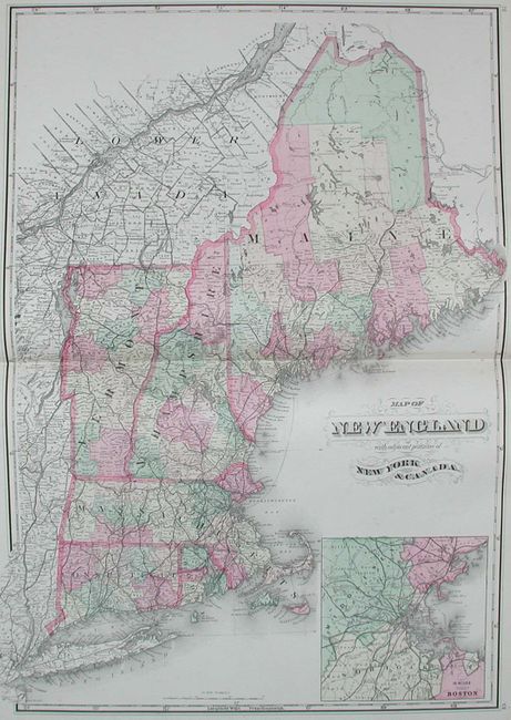
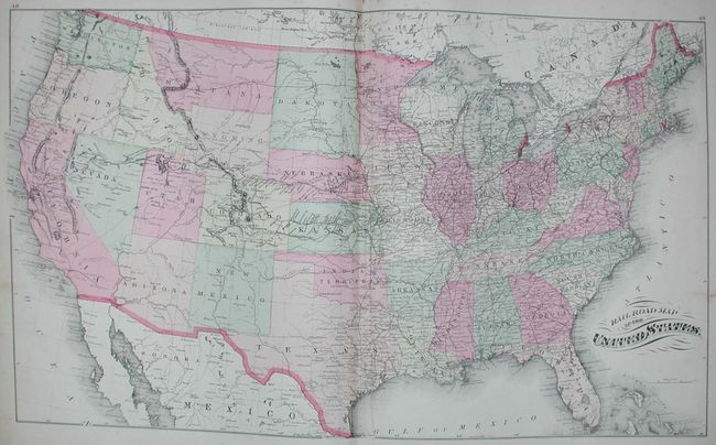
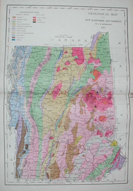
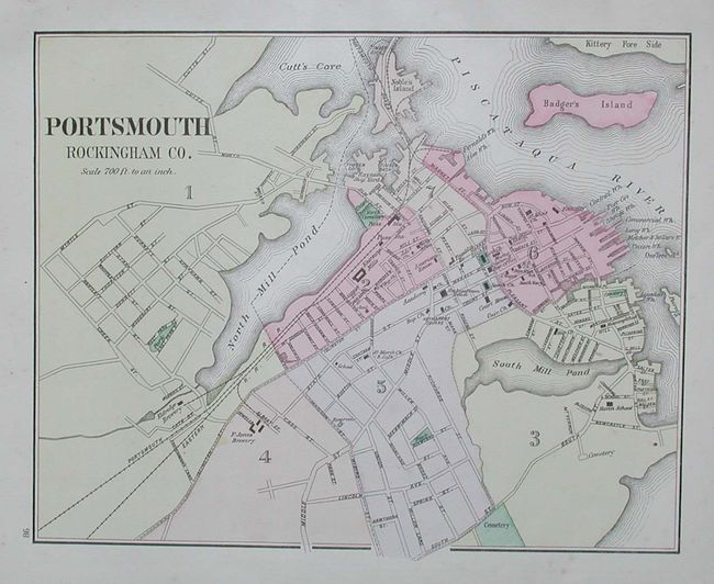
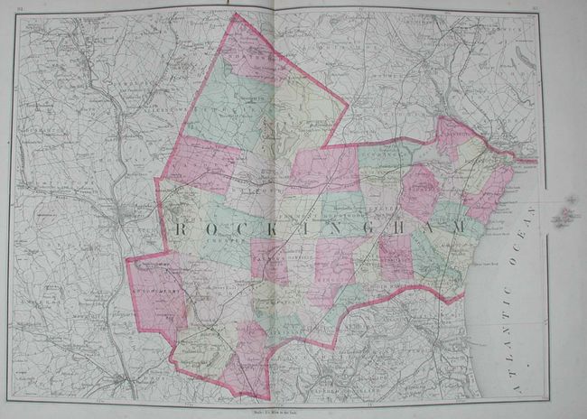
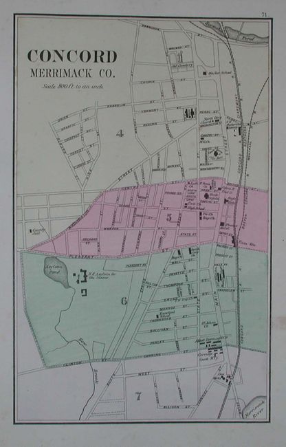
A very nice, complete folio county atlas of the state. Thirty-three full-color maps, composed of 12 single-page, 10 double-page and one large folding map. These maps include the counties and cities of New Hampshire, the United States, a superb and beautifully colored geological map of New Hampshire and Vermont (with stain down middle of map), and a fine map of New England. Some county and city maps printed back-to-back, but most blank on verso. Hardbound in green cloth with quarter leather, gilt-embossed title, title page, Preface, Contents, text, maps, Appendix, New Hampshire Business Notices, 93 pp. The text gives information on geology, topography, climatology, and more. A nice and complete atlas with maps prepared by Walling and the text by Charles H. Hitchcock. Published by Comstock & Cline.
References:
Condition: A
Cover just slightly rubbed, gilt titling fine. Contents very good with signatures tight. Dark brown stain on inside front end paper with its staining continuing to top of most pages and maps. Stain is usually restricted to margin.