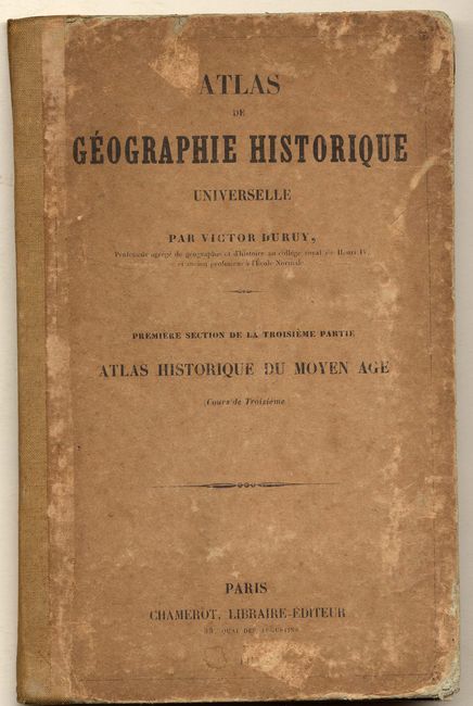
Subject: Atlases
Period: 1844 (dated)
Publication:
Color: Hand Color
Size:
5.3 x 8 inches
13.5 x 20.3 cm
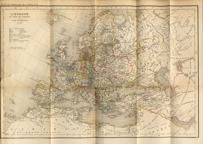
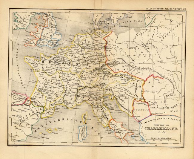
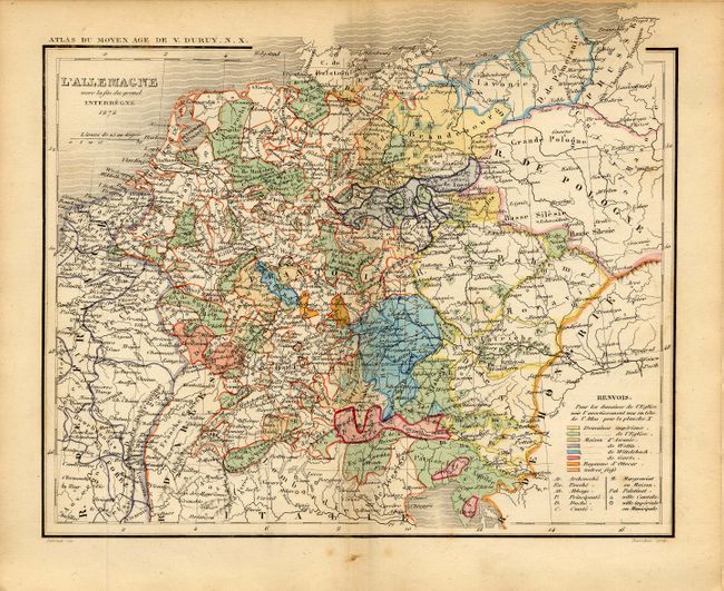
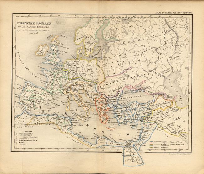
This small historical atlas contains 15 maps of Europe covering the period of 395 AD to 1453. At rear is a large folding map titled, L'Europe le Nord de l'Afrique et l'Asie Occidentale en 1453, 17 x 11 inches. Hardbound with printed paper covers, title page, Ouvrages du Meme Auteur, Liste des Cartes, 16 pp. of text, maps. Maps are double-page, finely and delicately engraved and hand colored in outline. Fourteen double-page maps and one folding at rear.
References:
Condition: B
Covers rubbed and worn. One signature slipped from binding string at top. Mostly very good. Folding map at back has short tear at binding trim and a little toning on fold.